February 2021
Working with Xradar there are many methods and a wide range of technology available to meet the needs of a unique project, such as void detection.
Our Partner company Xradar™ provide us with the technology and methods accurate enough to locate subsurface voids and objects with extreme detail.
Situation
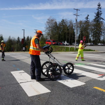
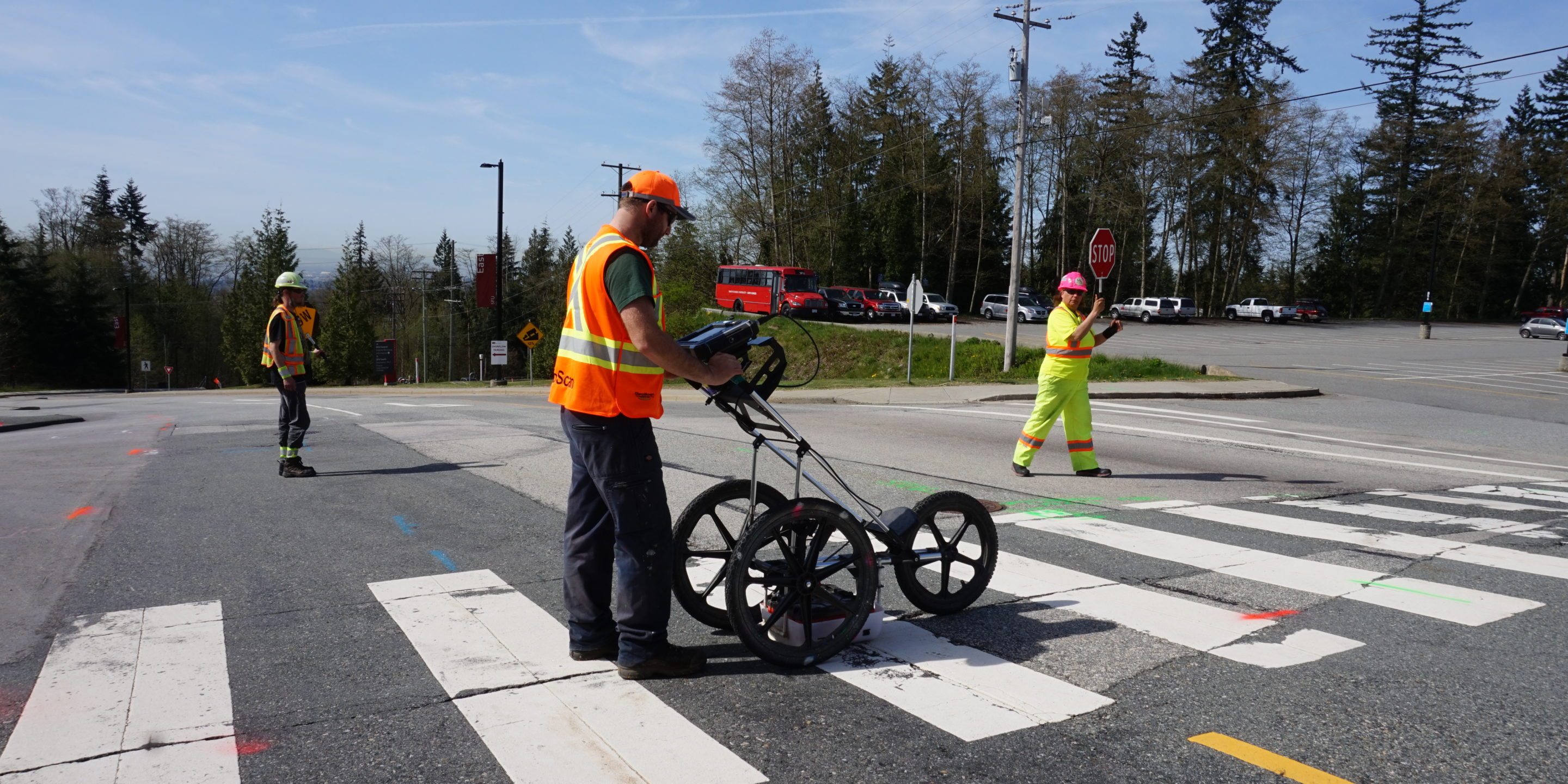
An operational shipyard in BC, with close to 100 years of history had some modifications and improvements in the past few years. Most likely due to the varying load on the surface, concerns were raised of potential void development due to either compaction or material migration in an area where the construction only scratched the surface and did not alter the deeper segments. Due to operational and cost-related considerations, a non-destructive reconnaissance-type void survey was requested. This would typically would use GPR to collect the data. An outline of our Void Detection Surveys can be found in our services page.
Solution
As a business, Xradar utilizes several technologies to identify subsurface features indicative of potential void spaces. Voids are almost never distinct objects. Depending on their creation, evolution, and even filling material they can show various geophysical signatures on various used techniques.
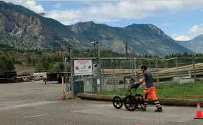
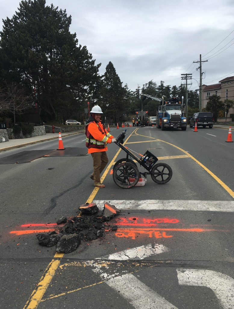
In this specific example, Xradar used a medium frequency GPR as it provides a cost-effective data collection and satisfactory resolution that met the project requirements. Data collection was conducted in a grid pattern and transects were processed both individually and as a 3D dataset. This enables us to focus on both the small variations within a profile and the larger spatial variations throughout the survey area.
The data collection was completed within a day and the report with the findings were submitted within a few days after.
Outcome
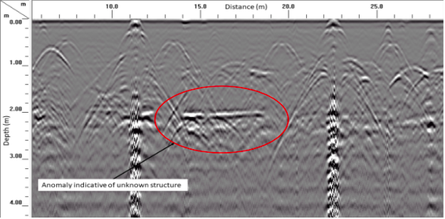
The survey results revealed a dense utility network within the area with several undocumented utilities or utility-type targets. The signal penetration was sufficient to ‘see’ to approximately 3m depth. A few anomalies, indicative of potential void spaces were mapped out within the survey area that may be of concern. Additionally, we revealed a few anomalies, indicative of potential buried structures as well. These potential buried structures could be historical structures or deep utilities with no documentation and can be the start of any further investigation.
If you’d like to learn more about this project in particular, or hear about how we can work with you on any of your upcoming projects, please get in touch and our team will be happy to discuss.