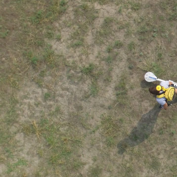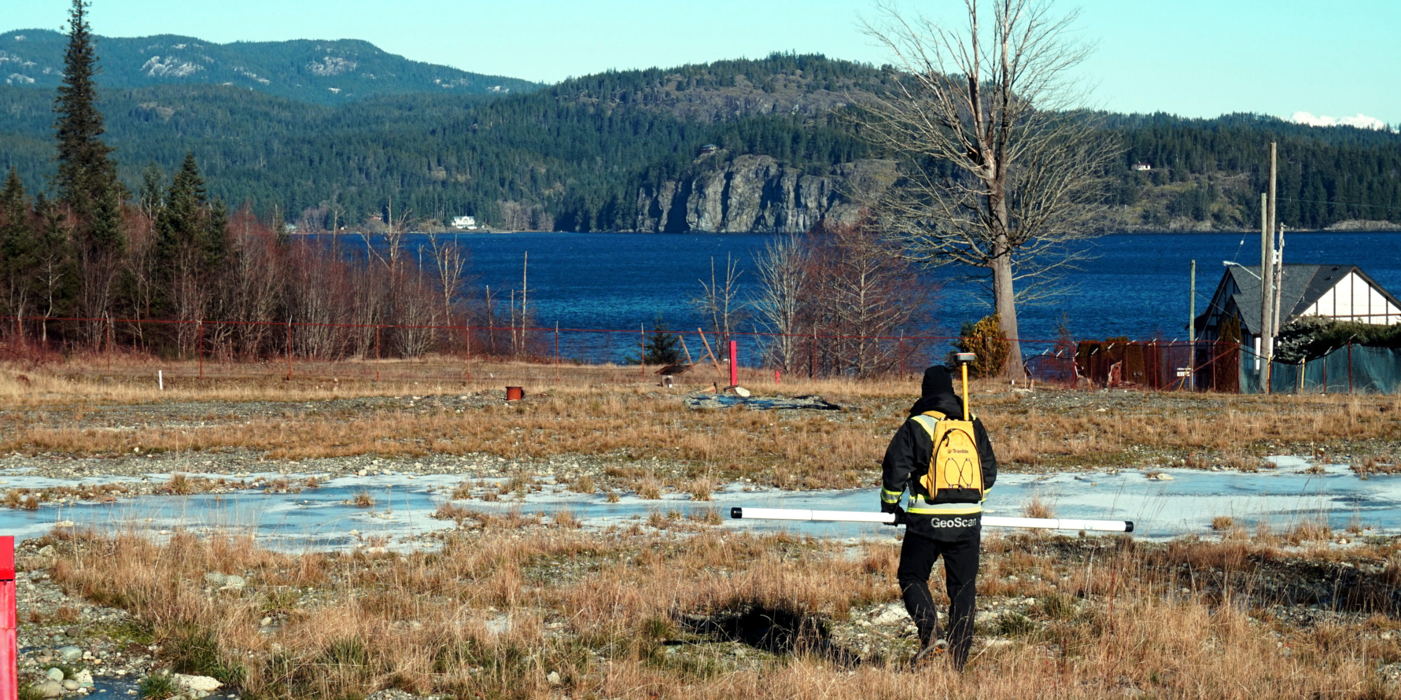
Measuring ground conductivity to identify and monitor environmentally harmful contaminants such as increased chloride, PCE and hydrocarbons.
Applied geophysics can be used to develop understanding of subsurface structures and attributes. Observing and modelling these structures can provide an insight into how mobile components of the subsurface, such as groundwater or contaminant plumes, migrate over time.
GeoScan uses several methods to investigate and create a model of the shallow subsurface. Electrical Resistivity, Induced Polarization (IP), Electromagnetic are used to characterize subsurface conditions in any environmentally sensitive areas. We understand that a ‘simple quick survey’ is usually not enough to understand the unknown of the subsurface and a complex approach is necessary to answer all the raised questions.
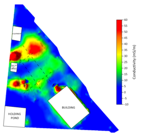
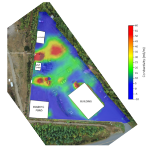
Road salt ingress into ground waters pose a significant and relatively common threat to environmentally sensitive biota, particularly in the vicinity of salt storage facilities and major highways. Ground water effected by raised salinity is radically more conductive than ‘fresh’ water and so can be identified by non-invasive geophysical instrumentation as ‘conductive hot spots’.
This application can provide a convenient way to optimize the placement of monitoring wells and visualize potential breaches in road salt containment structures.
Applications
Ground characterization and ground modelling with conductivity / resistivity can identify areas impacted by any mobile element that raises the conductivity of the surrounding material or substrate.
Typical applications include monitoring increased chloride content, typically in the form of salt but also from PCE (Tetrachloroethylene) contamination.
- Salinity and salt contamination
- PCE plume mapping
- Environmental sequence stratigraphy
- Non-invasive methods
- Georeferenced heatmaps
- 2D profiles, 3D block models
Plume Mapping
PCE is a toxic chemical commonly used in the dry cleaning industry and for degreasing / cleaning metals in a variety of industries. It poses significant risk to human health and wildlife if released into groundwater. This contamination mobilizes in aquifers and travels generally in the direction of groundwater flow, forming plumes. Conductivity investigations provide cross sections or 3D models of these plumes delineating their extent, direction, and overtime their development / flow rate.
Utilizing electrical properties of varying ground substrate types can be applied to monitor historic landfill areas. Low frequency GPR and resistivity measurements can provide a simplistic model of decommissioned landfill internal structure. Monitoring in this way on a periodic basis allows for insight into how the stored waste breaks down over time and subsequent gas plumes may form, and ultimately can be used to optimize the planning and implementation of physical monitoring wells.
Example Salinity Survey (Sodium Contamination)
If you would like to learn more about this service, or have a project that would require our qualified technicians to attend to, then please get in touch.