We work with architects, engineers, and contractors across a wide variety of sectors.
From large-scale construction and engineering projects to land development and transportation infrastructure mapping, our Surveying team loves a challenge.
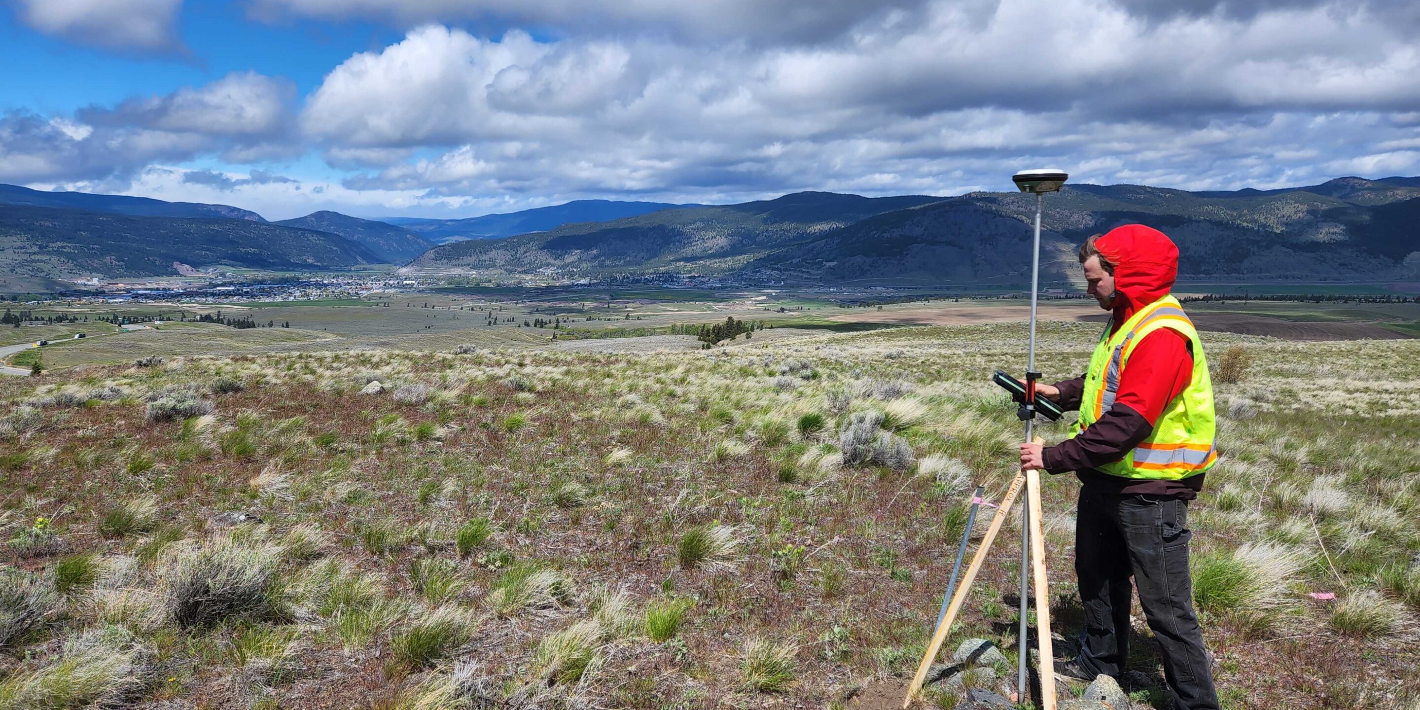
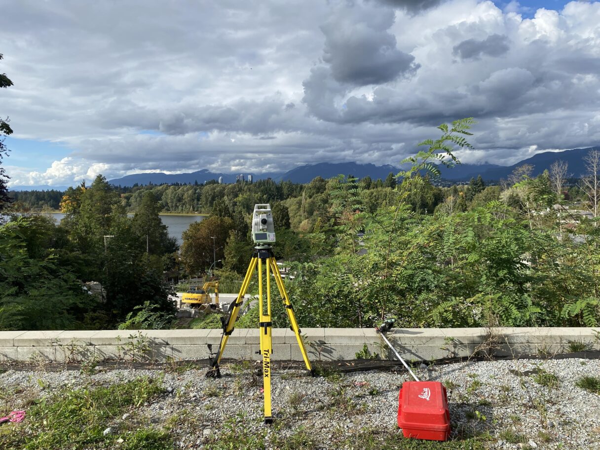
A topographic survey is typically done at the start of a project. It includes measurements of features and terrain. Features within a topographic survey may include structures such as roads, buildings, utilities, and services. It will also gather data on natural elements such as trees, rivers, streams, and ditches in the area being surveyed.
A topographic survey is often required for design purposes, including new construction and improvements and upgrades for industrial, commercial and residential applications. A well-defined topographic plan will help guide architects, engineers, and contractors in the planning and construction phases.
Before a project has received the green light, GeoScan Surveying can provide preliminary plans based on existing data. This information may include previous survey plans, topographic data available in the public sphere, or existing utility information. Our team can gather this information on behalf of our clients, saving them time and resources.
Once a project has moved past the preliminary stage, clients will require more detailed information. This is when the GeoScan Surveying team can bring their unique set of expertise and knowledge to the table to provide accurate and reliable data.
In addition to the above services provided by GeoScan Surveying, our sister companies can provide subsurface scans to identify the location of underground utilities, map bedrock or tree roots, or conduct archaeological surveys. With comprehensive data collected above ground and below the surface, GeoScan can provide an all-encompassing plan that will identify all potential features that may affect the parcel or proposed design. The level of deliverables can be customized to suit the unique needs of the client and approving body requirements.
To see what other areas GeoScan specializes in please view our Services page.