Assisting archaeological investigations with high resolution shallow imaging of subsurface anomalies.
Providing non-invasive ground scanning for cemetery development, planning and boundary delineation, using cutting edge geophysical methods.
Archaeology is the study of the past through objects and materials left behind by humans. In British Columbia, this requires a very thorough approach due to the countless archaeological sites and the everyday connection between present and past.
Geophysical archaeology aims to help this process by providing a sometimes foggy but always informative window to the past with imaging the subsurface using various subsurface survey techniques. With cooperation of archaeologists, during the archaeological impact assessment it can help in determining the context of a larger area and the objects located within. Using these methods would aid in narrowing down potential areas of interest for further investigation.
A wide range of geophysical methods can be applied for locating and identifying targets of archaeological or historical interest.
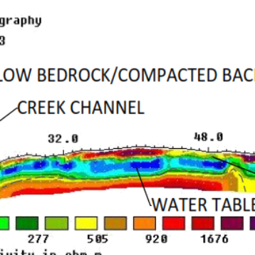
Magnetometry and Ground Penetrating Radar (GPR) are particularly suited to archaeological investigations – from identifying large scale building footings, hearths and pit houses to buried ground disturbances, compacted soils, depressions or unmarked burials.
Gathering as much information as possible, from a broad range of sources, can often make the difference in making comprehensive interpretations piecing together archaeological findings.
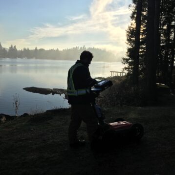
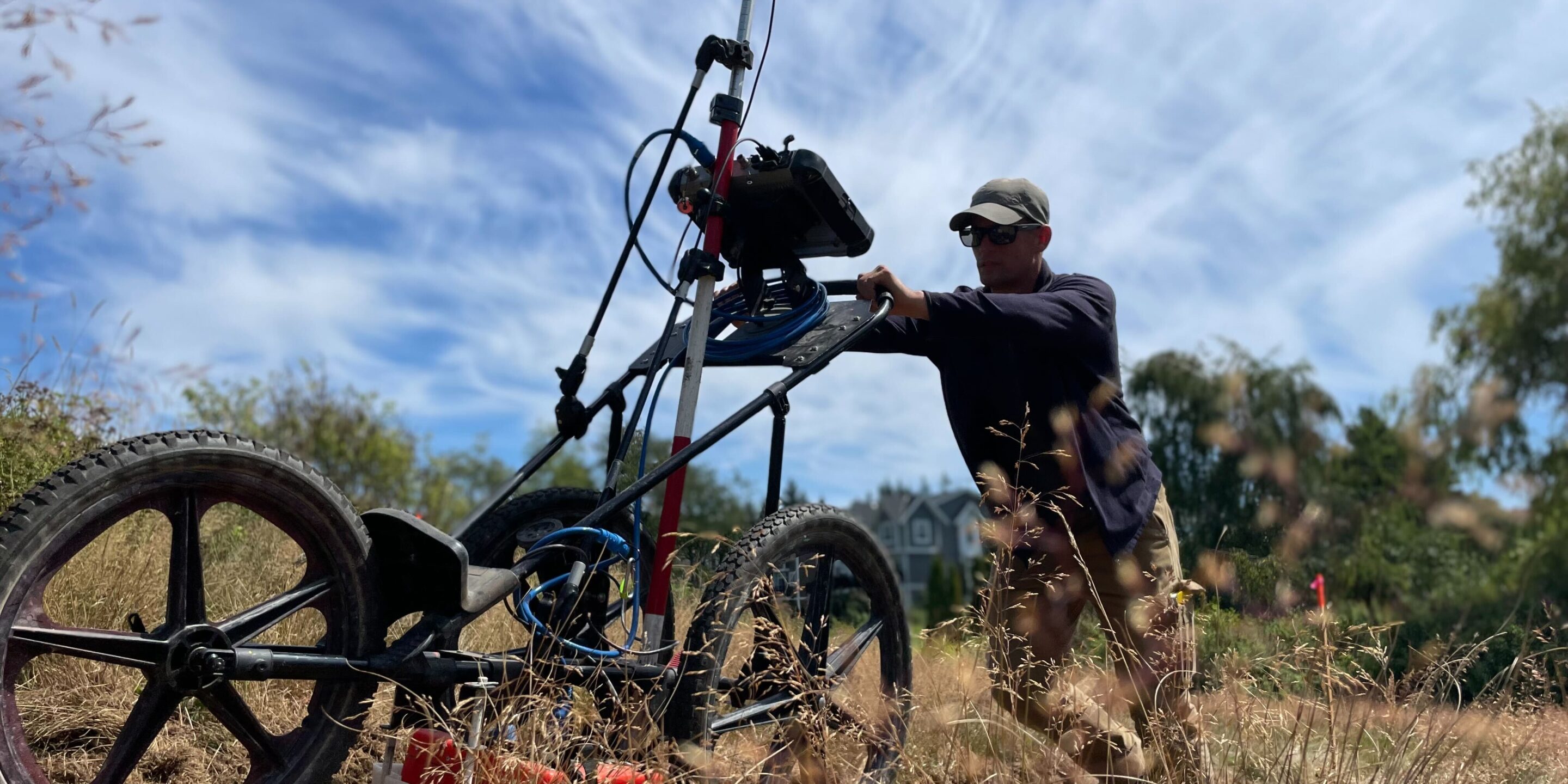
In situations where invasive excavations are impossible or the area to be covered is too large, archaeological geophysics offers a comprehensive and unparalleled approach for direct ground investigation.
‘Sweeping’ greenfield sites using highly sensitive magnetic equipment is a common method for identifying traces of past human presence. TRM (thermoremnant magnetization), for example, leaves a magnetic signature from the heating and cooling of rocks, soils and the ground. Areas that were previously used for fire pits or hearths that are still in situ help us identify settlements or historic trade routes.
A common application of shallow GPR in particular is for the confirmation of suspected or known burial sites.
Improving cemetery records with radar evidence allows planners to identify available plots and optimize cemetery layout.
As with any geophysical methods, though, GPR data is complimented by the use of other methods, as mentioned.
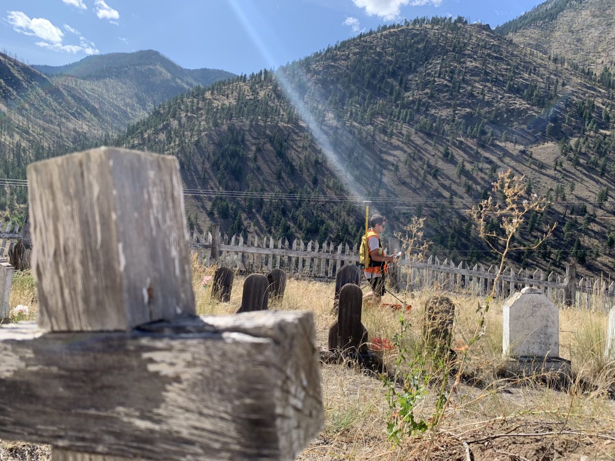
Identifying the existence and location of unmarked graves
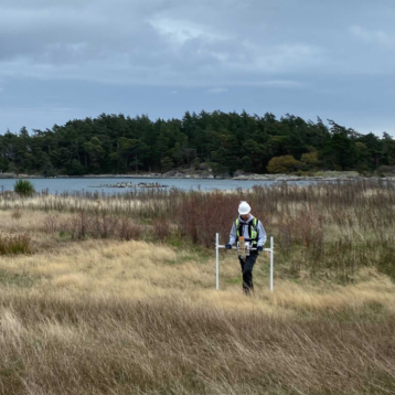
The main application of geophysical methods for archaeological investigations are for identifying the existence and location of unmarked graves.
The historical nature of cemeteries and burial sites often result in inaccuracies in the position, size and even the number of graves within a known burial area. Geophysical techniques offer a completely non-invasive way of identifying and locating potential burials.
In addition to this, in British Columbia and across Canada, sites of interest have been announced relating to the tragic period in history marked by the existence of residential schools and children’s undocumented deaths. It is hoped that experts trained in GPR and other geophysical methods, alongside the Truth and Reconciliation Commission, can do their part to help uncover the truth and bring peace to the First Nation’s communities affected by these tragedies. To learn more about this topic, please search ‘residential school burials’.
Providing initial subsurface spatial data to identify potential areas for excavation, mapping subsurface anomalies that may be of archaeological significance, aids in the planning of archaeological surveys and ultimately allows for more efficient assessment.
If you would like to learn more about this service, or have a project that would require our qualified technicians to attend to, then please get in touch.