Applying GPR and ground resistivity techniques for bedrock mapping, shallow stratigraphy, subsurface aquifers and water table.
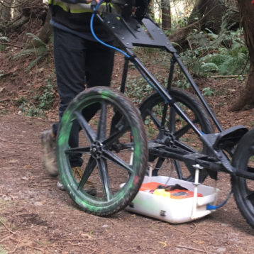
GPR and electrical methods lend themselves to identifying and mapping shallow bedrock and water table, providing fast data collection and both plan view and profile view datasets. ERT and Seismic surveys allow for greater depths and the potential for full 3D ground modelling.
Analyzing multiple 2D profiles or full 3D GPR and resistivity data allows for the identification of bedrock and or low poroperm horizons to provide the building blocks of hydrogeological flow models.
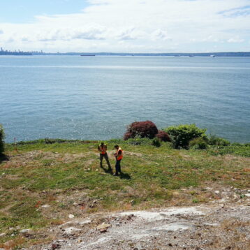
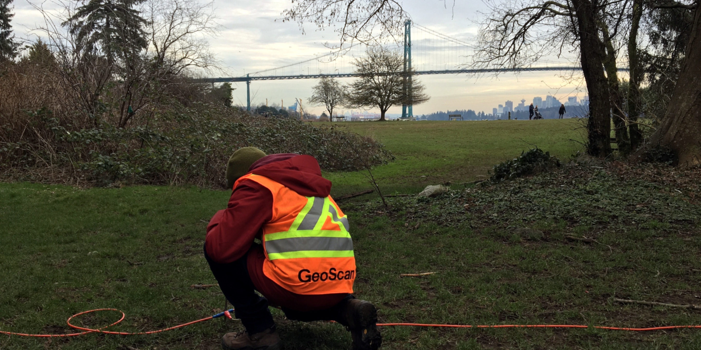
GeoScan can mobilize on a variety of projects that require an understanding of underlying bedrock, from many kilometres of road or rail developments to small scale construction.
Implementing our extensive experience in a wide range of projects to optimize survey design and approach, to suit our clients needs and individual project scope.
Applications
The requirement for bedrock mapping and profiling is widespread, with the data providing valuable information for the planning and development of the following project types: trenching, construction, drilling, Well installation, geological and hydrogeological studies.
- Multiple output formats available
- Full spatial referencing, including topography
- Easy integration into existing CAD or GIS
- Bespoke survey design
- Flexible to project requirements, budgets and timelines
If you would like to learn more about this service, or have a project that would require our qualified technicians to attend to, then please get in touch.