GeoScan were recently hired by a Vancouver Architecture Firm to map the bedrock at the location of a West Vancouver property build
Situation
A local client building a house on the shore in West Vancouver noticed visible bedrock on the surface of the property.
As it is expensive to blast bedrock it is important to map the location and depth through bedrock profile mapping in order to determine the cost and extent of a potential blast.
Local building regulations for blasting bedrock state that the “maximum allowable quantities are 1.5 m times the area in square metres of the principal building and garage footprint or 600 m³, whichever is less”.
Solution
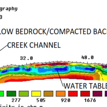
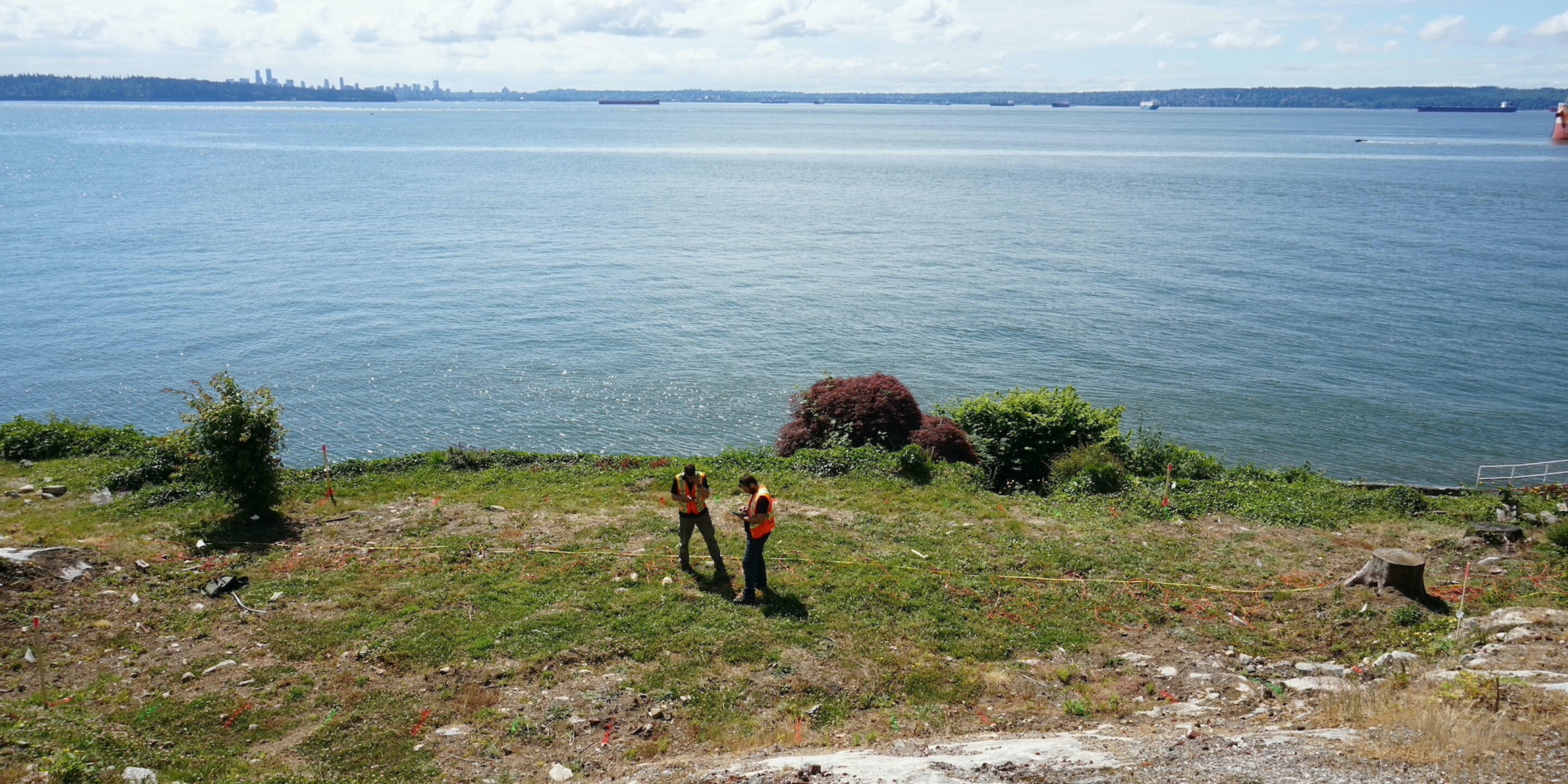
GeoScan were hired to map the bedrock of the site for the client in order to show the exact depth across various locations.
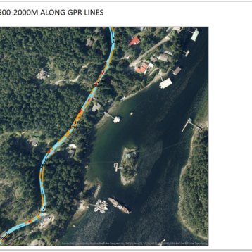
Using GPR and ERT, two methods to confirm depths, our experienced technician scanned the area and referenced locations using GPS and 3D Laser Scanning to then display the depths over the site on CAD plans.
This provided the client with an accurate and easy to understand report which could then be used to quote and plan the required blasting of the bedrock.
If you’d like to know more about bedrock mapping, please visit our service page, or get in touch.