Mar 2017
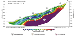
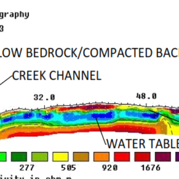
Whilst developing a property in Victoria, the depth of the underlying bedrock became an important factor in the development. With plans to excavate in places, the presence of bedrock would involve blasting and increasing the cost significantly.
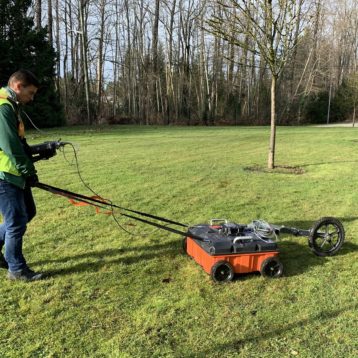
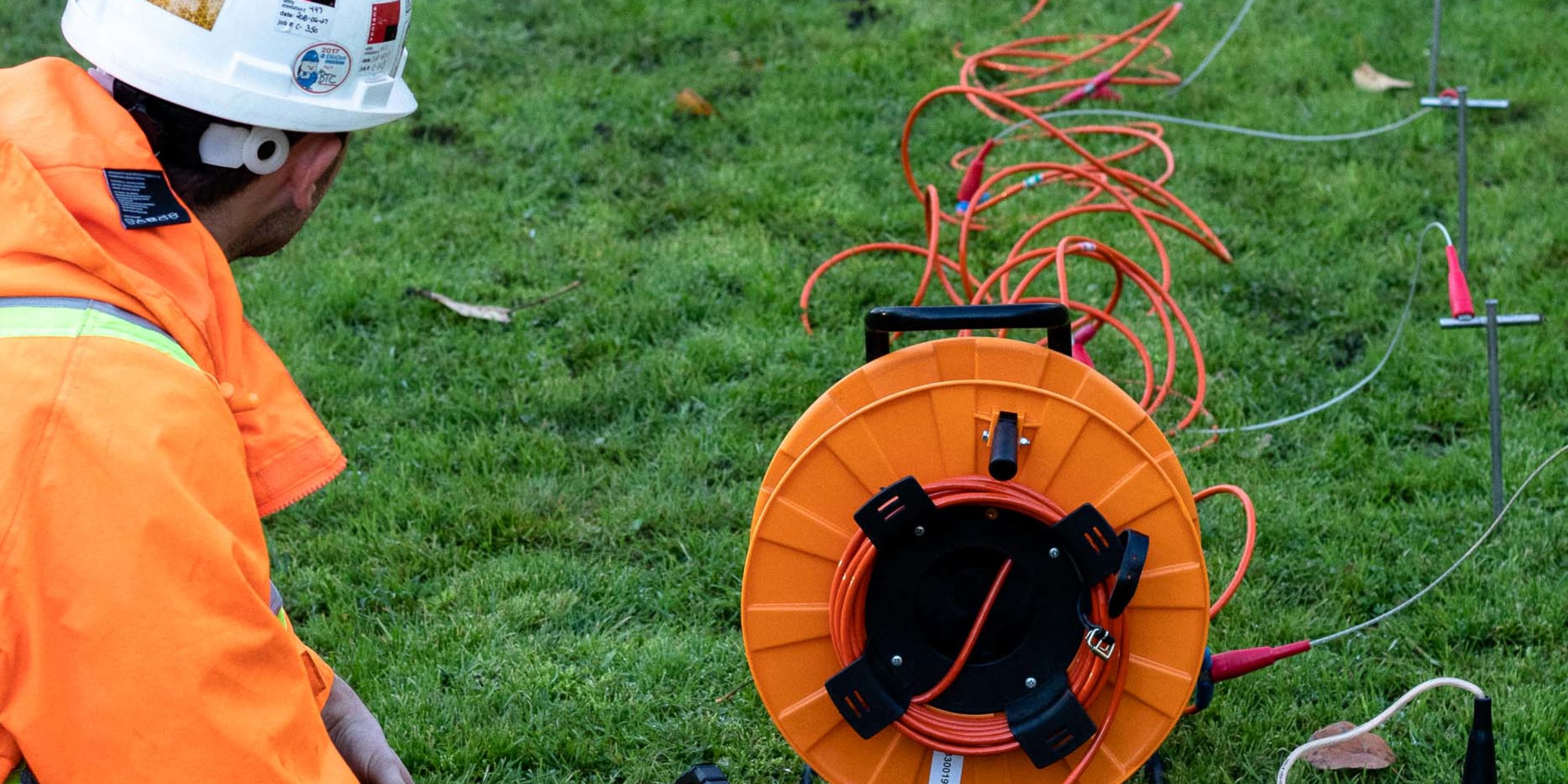
GeoScan used Electrical Resistivity Tomography (ERT) system to identify and profile bedrock depths across the property. By utilizing collected GPS survey points, the results could also be displayed clearly on a positional map and kept for future records.