Sep 2019
An engineering company working for the Regional District of the Sunshine Coast (RDSC) required accurate and reliable bedrock information to aid their cost estimations and route planning to replace 7km of waterline.
The original bids for the tender were all a significantly higher price than the RDSC were expecting due to the proposed bidders budgeting a substantial cost for rock blasting. The tender specified a proposed route and depth of 1.0m below the grade.
Solution
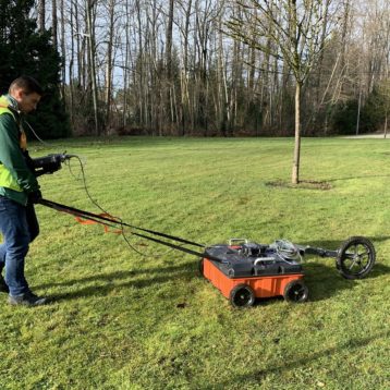
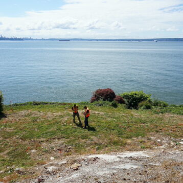
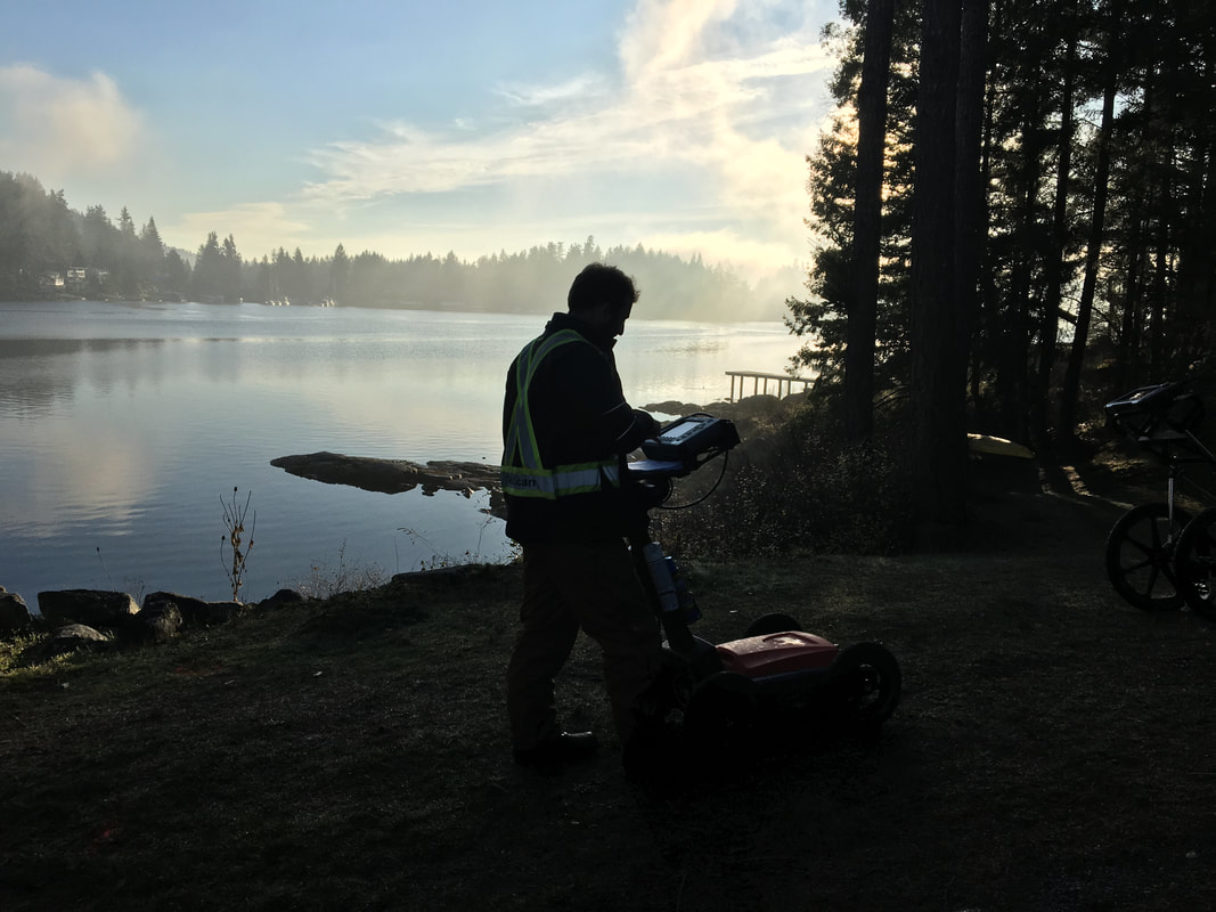
GeoScan collected GPR data using multiple frequency antennas along the proposed route of the water line as on well the opposite side of the road to the proposed route. This data was also georeferenced using a survey grade GPS.
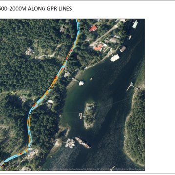
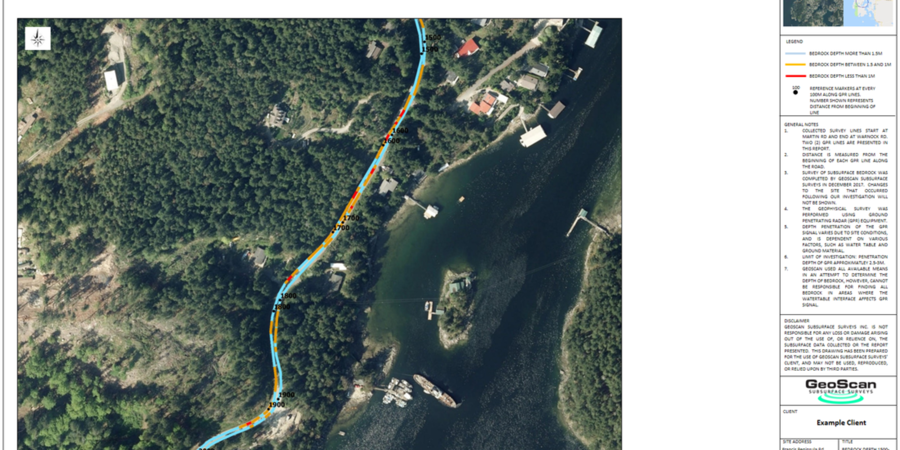
All the data was then post processed and displayed as a visual heat maps (figure 1) as well as a profile view (figure 2). Along with the bedrock survey the original AC water line was also surveyed and mapped to allow further planning of the new water line.
The information GeoScan provided allowed the client to accurately calculate the amount of blasting that would be required and also gave them the option to rerouting the proposed course to avoid shallow bedrock.
- Deliverables to the client:
- .Dwg (AutoCAD)
- Written report
- GIS