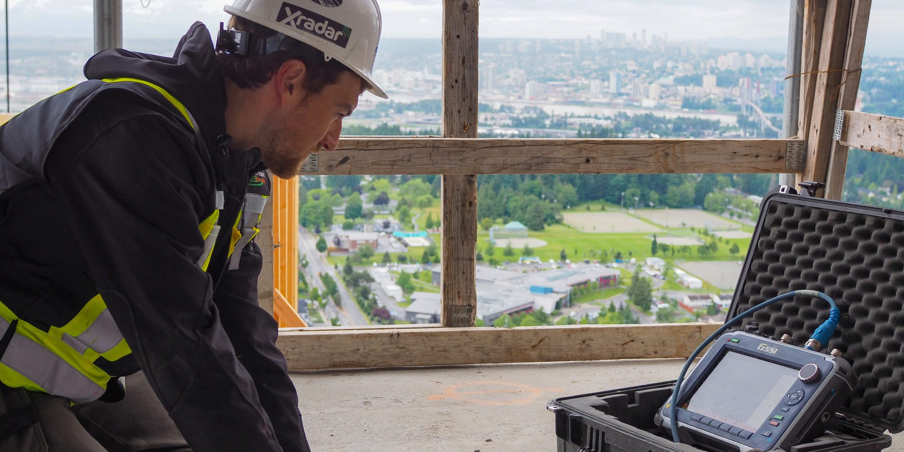
Xradar™ Concrete Imaging is used across a wide range of concrete scanning applications and is the Engineering Standard for Concrete Imaging.
Xradar™ is the only concrete scanning method that guarantees results, reducing concrete scanning errors to less than 1% compared to the 25% typical for the scanning industry. The method itself is an advanced imaging capability utilizing Ground Penetrating Radar (GPR). It uses radar amplitude, phase and shape to achieve maximum performance for freehand B-scan analysis.
The process is completely non-destructive and is primarily used for detecting objects in the subsurface, but can also be used to detect and map concrete corrosion, voids, and locate utilities. It is commonly used in construction and engineering as a form of non-destructive testing (NDT) in order to scan before cutting and coring concrete.
How Does it Work?
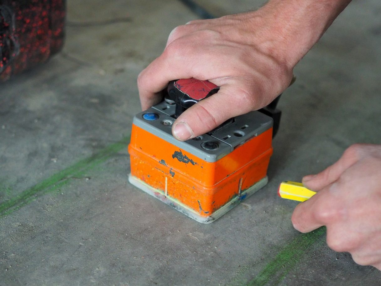
The system used in Xradar™ is made up of a transmitter, a receiver and a control unit. The process works by sending high-frequency electromagnetic waves into the ground from the transmitter, which are then reflected off underground layers and objects.
Reflections are produced whenever the wave enters a material that differs in its conductive properties from the material it left. The receiving antenna then receives the wave reflections and measures the travel time and strength. This is then converted into an accurate image of whatever is below the surface.
Our expert technicians are then able to produce a detailed report tailored to the client’s exact needs. We can also alter a number of factors depending on the requirement of the application, for example, changing the frequency of a wave can alter the depth and detail of the scan, therefore antenna choice is one of the most important factors in survey design.
Applications of Xradar™ Concrete Imaging
Xradar™ has a number of different applications but is most commonly used in the construction and engineering industries as a form of non-destructive testing (NDT). It is used for concrete scanning, corrosion mapping, and oil tank locating to name a few.
- Xradar™ Concrete Scanning
- Structural Analysis
- Xradar™ Pre-Design Scanning
- Concrete Corrosion Mapping
- Void Detection
- Underground Oil Tank Locating
- Contaminant Plume Mapping & Landfill Delineation