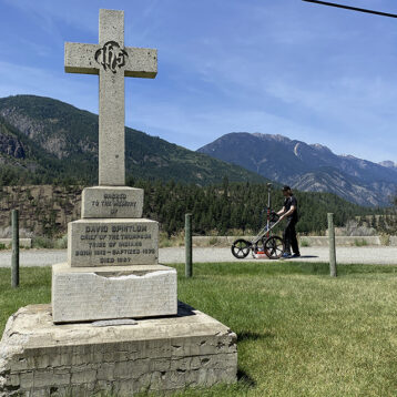
A GC was conducting utility upgrades at power substation and requested that a SUE was carried out prior to any work taking place. In addition, the site was an area of significant archeological importance. GeoScan performed a full Archaeological Geophysical survey utilising GPR, Magnetometry and Electromagnetics.
Industry
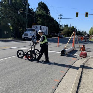
Utilities
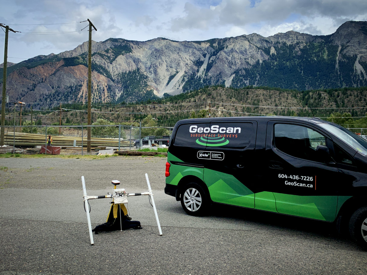
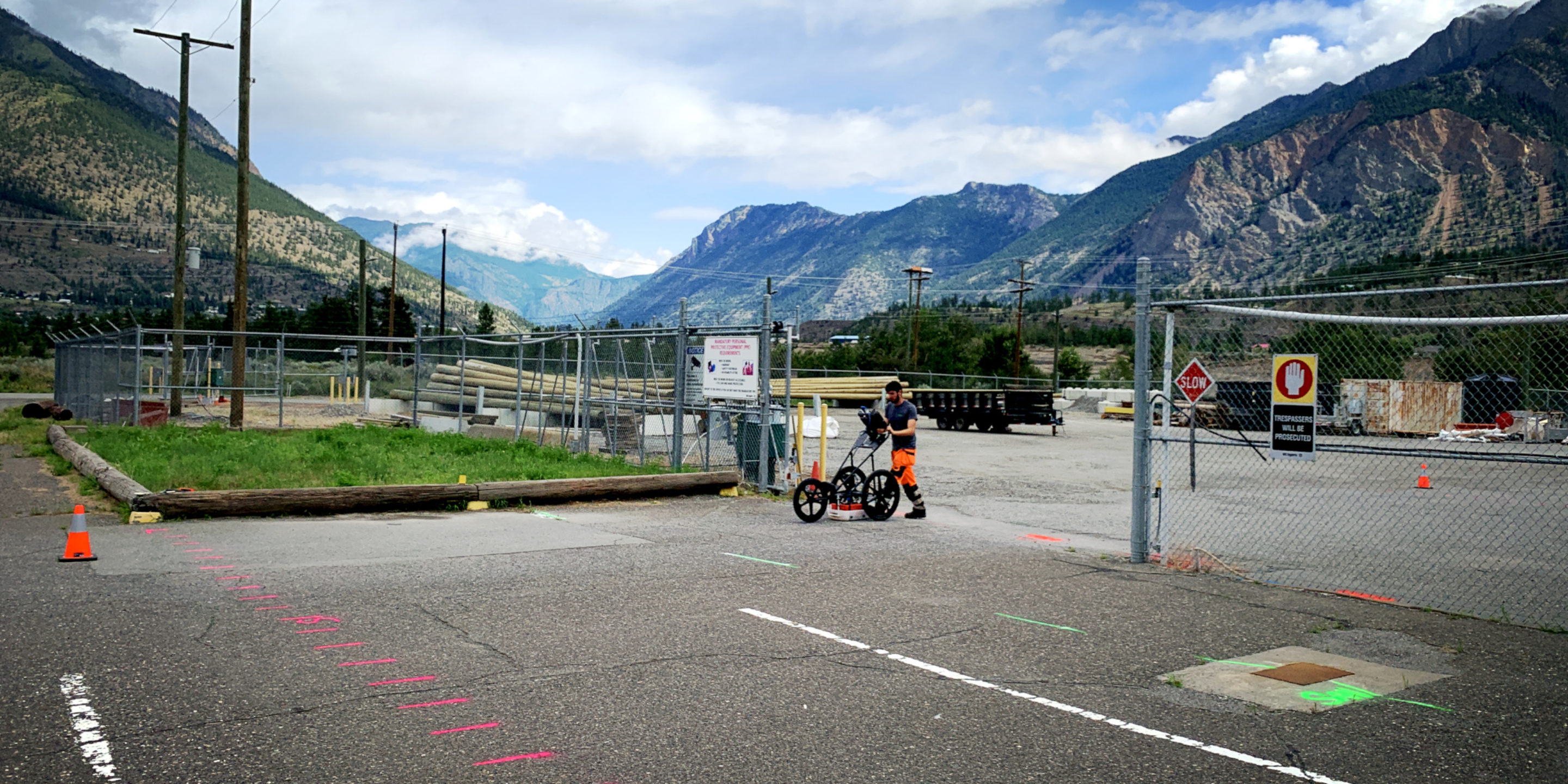
A GC was preparing utility upgrades at a power substation in northern BC and wanted to ensure that all utilities were accounted for prior to any work commencing. Approx. a 9,500 m2 survey area was mapped out.
The scan area was within a valley that was surrounded by mountainous terrain which affected the GPS signal to our nearest base stations close to 100km away! Total station data point collection was then employed to record all utilities that had been located.
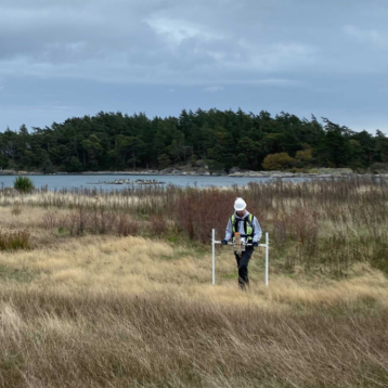
Due to the historical significance of the site area, an Archaeological Geophysical Investigation (ARC scan) which included gridded GPR profiles, Magnetometry & Electromagnetic data collection which was conducted by the technicians in our shallow geophysics department.