December 2018
Multi-channel GPR investigation of shallow utilities and voids
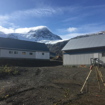
An artificial grass soccer pitch in the lower mainland had developed several deformations in the surface and surface run off was collecting in pools. Less than optimal conditions for a footie pitch. The site had a history of shallow voids and so GeoScan subsurface surveys were engaged to provide a ground investigation.
The ground conditions were generally dry and flat except for the standing water in the surface depressions. Data collection was done with an IDS Stream C, a 32 channel GPR system that delivers a radargrams profile every ~5cm and a GSSI 400MHz GPR for a lower resolution but greater depth investigation.
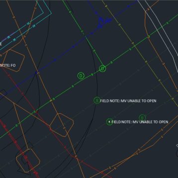
The high resolution scan was completed in one visit to site, in several hours. Overall a comprehensive data set was compiled, georeferenced and processed. A range subsurface targets were identified throughout the site. In approximate order of depth we identified: shallow drainage lines beneath the field topper, storm lines and water feed lines. Additionally 3 void like anomalies were identified at approximately 0.6m depth. These were coincident with breached PVC water lines.
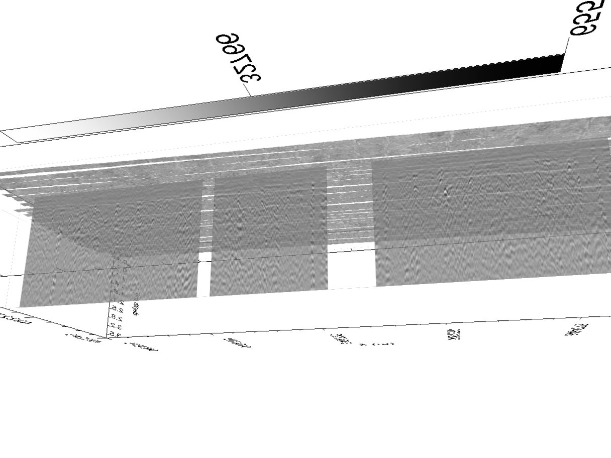
Furthermore, with the lower resolution GPR used we were able to identify a dipping geological horizon to the south of the site. From the nature of the radar images, we were able to differentiate the fill material used to build up and level the ground above this horizon and the native ground below. Using the information extracted from the GPR and along with the nature of the location (i.e. in the vicinity of a creek), we interpreted the native ground as large boulders and fluvial sand deposits and the fill material predominantly encompassing compacted sand and gravel.
It was determined that the steady outflow of water from the breached utility lines had removed the sand material in the vicinity of the breaches and was developing void spaces beneath the pitch surface.