February 2020
A large utility locating project for subsurface upgrades faced challenges along the way.
Surveyors were only able to find four out of five outlets within the manhole that were displayed on the city GIS.
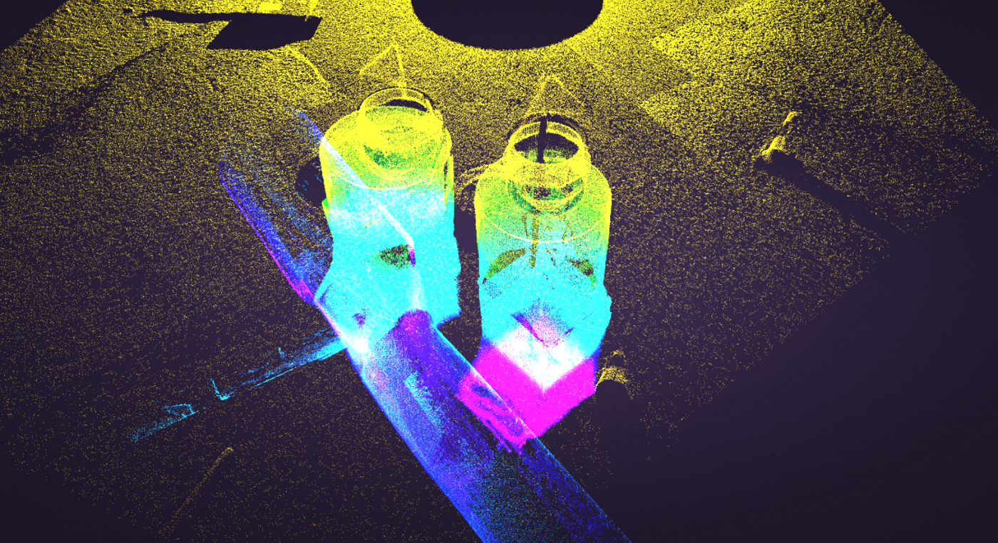
A 3D manhole survey assessment was able to determine the location & depth of the outflow pipe in question which was then subsequently traced to its drainage point.
Location
British Columbia
Industry
Engineering
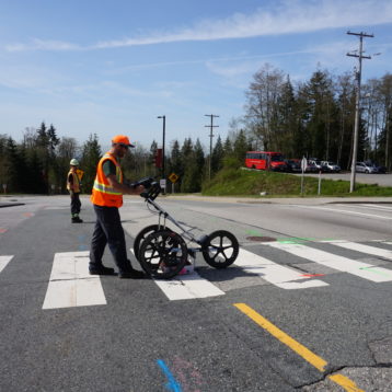
An engineering consultant operating on a utility upgrades requested that a SUE and manhole survey was completed within the work zone. City GIS of the site area depicted some utilities that had previously serviced the area to still be present however, other records revealed they were removed.
Surveyors were having issues confirming a fifth outlet from the manhole which was shown on the city GIS system. Unsure if the GIS records for the manhole were accurate or not, a 3D visualisation with a full 360° camera inspection to confirm the existence and properties of the mystery pipe was performed. The outflow pipe was discovered using the camera and subsequently able to be traced to its end drainage point as a result of the chamber inspection.
The SUE & manhole survey requested was completed on a one-day normal hours working shift providing the client with rapid results and reports issued several days thereafter. Some outdated GIS information which may have potentially misled the client could have resulted in damage to the previously unknown storm sewer connection. Thanks to their due diligence and the expertise of our technicians the utility records for the site could be updated and kept on record for any future works.
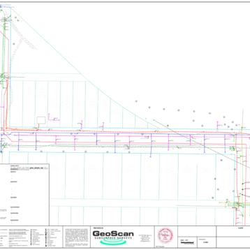
A subsurface concrete structure encasing a large hydrocarbons pipeline was also surveyed. An Xradar system was used to determine the extent of the concrete through the view of structural features within the slab.
3D Manhole Example
3D Manhole Example
Related Projects
 Read more
Subsurface Utility Engineering
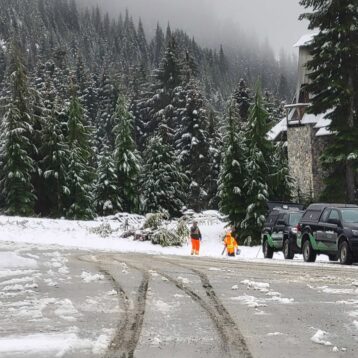
Subsurface Utility Engineering on the Slopes
- Read more
Subsurface Utility Engineering
Completing a Subsurface Utility Engineering Project at a Busy Terminal
- Read more
Subsurface Utility Engineering
Utilizing Subsurface Utility Engineering for a Water Main Upgrade Project