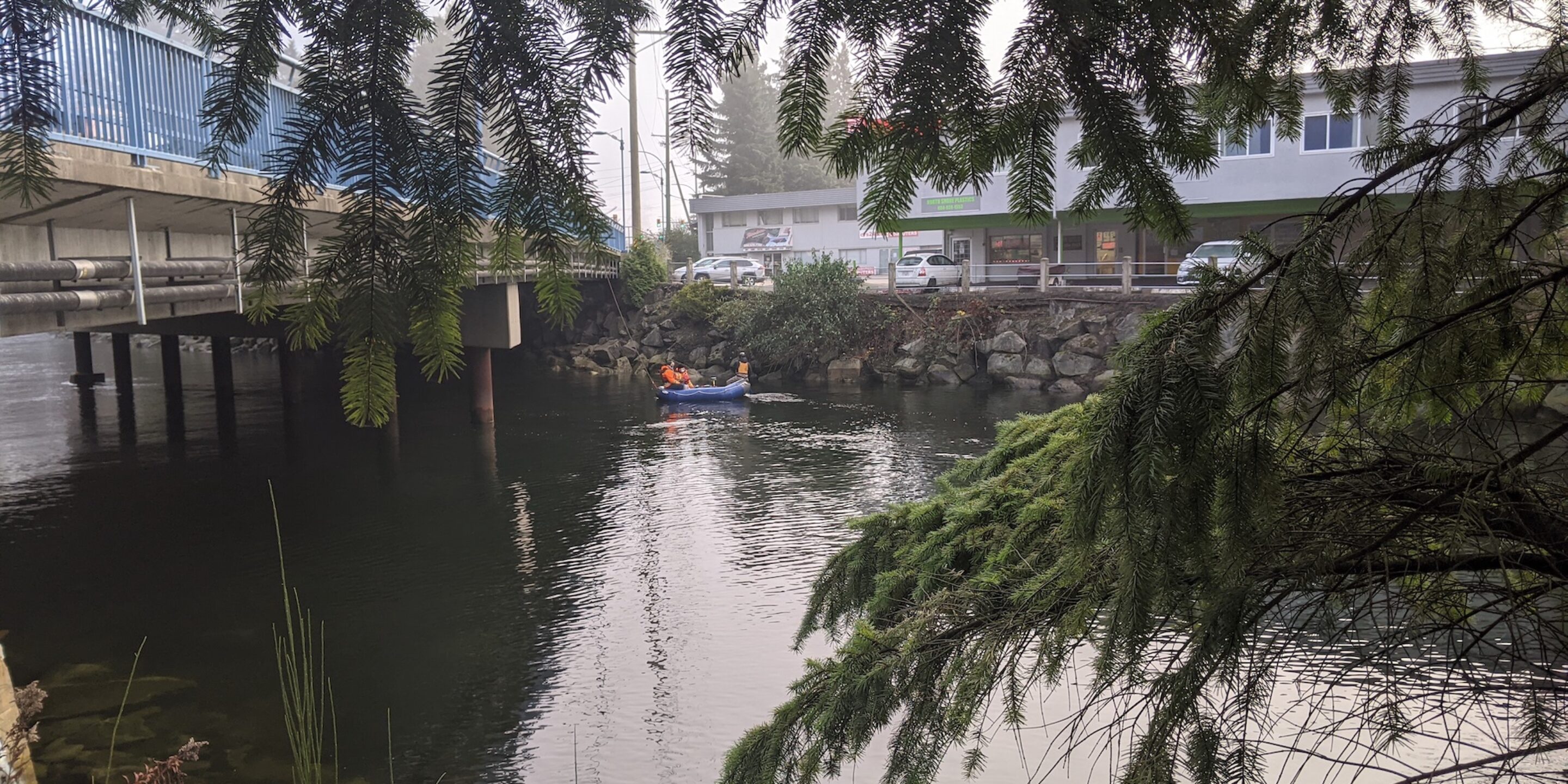
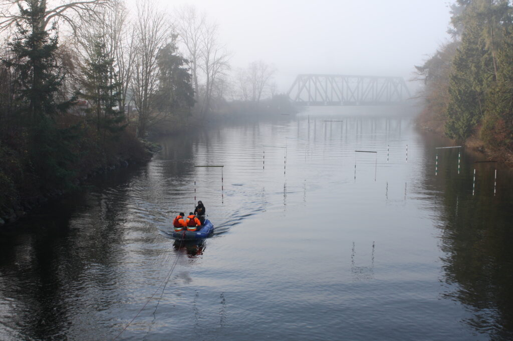
GeoScan was approached by a client looking to locate a sanitary force main under a river.
 The RULT Utilities Team
The line needed to be upgraded to prevent scour affects from the fast flowing water.
However, the records and drawings of the pipe were not consistent. Therefore an underwater utility locating investigation was required to locate and record the elevation of the pipe below the riverbed.
GeoScan used multiple methods to locate the pipe.
Using Ground Penetrating Radar (GPR) multiple passes were collected from the river’s surface using a 200MHz antenna with GNSS RTK connection.
This data was then analysed after processing to determine the location of the pipe below the river bed.
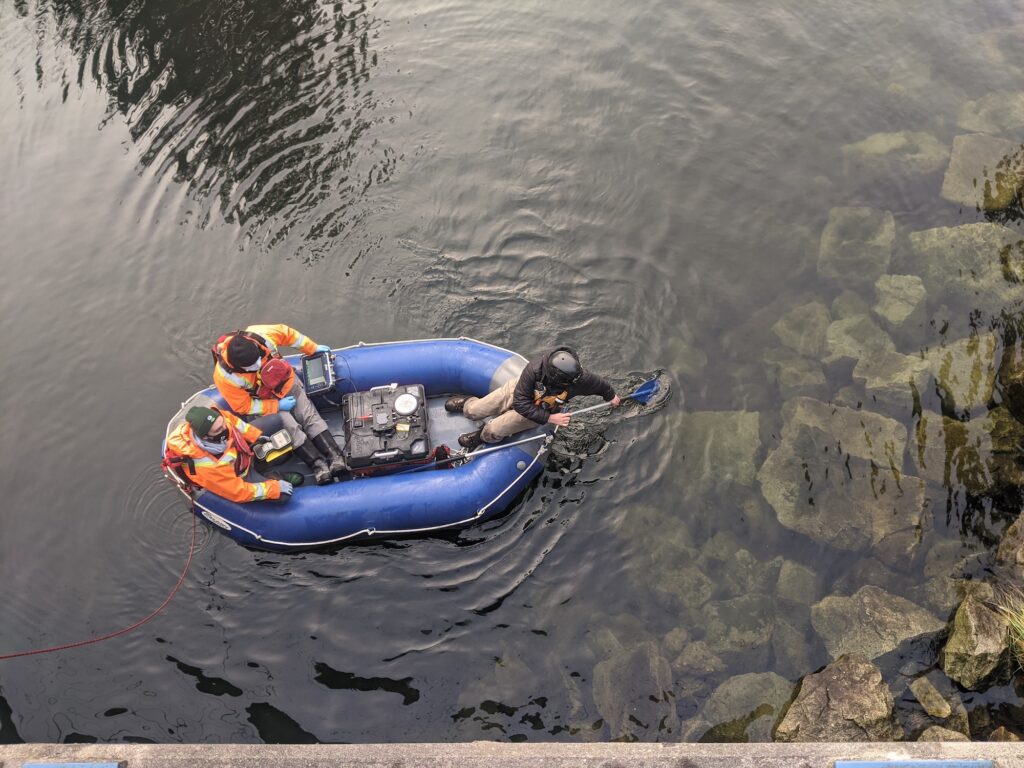
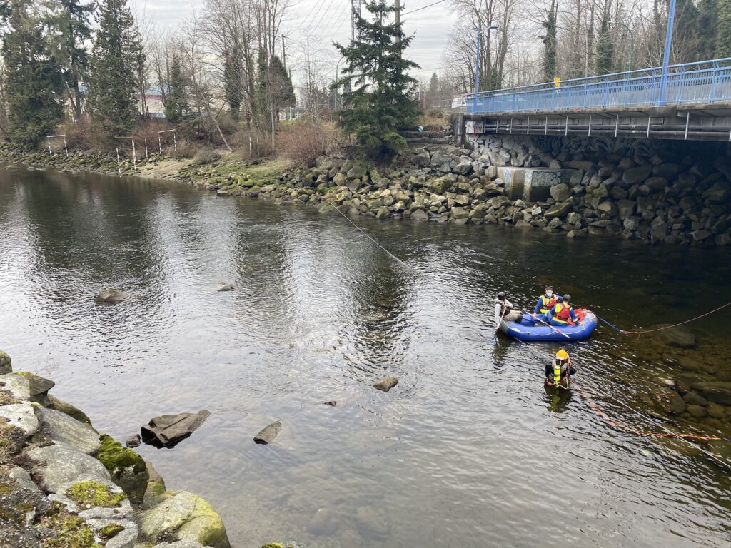
Along with GPR a Submersible Double Depth Antenna (SDDA) was also used to locate the line. This method involved inducing a signal from a known surface point, in this case a manhole, to the force main. Then the SDDA was taken down to the riverbed by a qualified diver who was directed from the surface boat team.
The SDDA produced a location horizontally as well as a depth below the river bed. This location was then surveyed to be compared with the GPR results.
The survey was conducted at slack water to allow for the safest conditions for the on site team as the river was tidal. Slack water is the interval when the speed of the tidal current is very weak or zero. It usually refers to the period of reversal between ebb and flood currents.
The client received a pipe profile as the deliverable in NAD83 UTM10 which they then used to assist in the design of the engineering upgrades to the municipal force main.
If you’d like to know more about bedrock mapping, please visit our service page, or get in touch.
If you’d like to learn more about the methods GeoScan use in their locating of utilities, try reading this article: Why use both GPR & EM when locating utilities?