Book Now
Menu
Close
Services
Methods
Projects
About
Contact Us
Book Now
Blog
Join Us
News
Back
Underground Utilities
Underground Oil Tank (UST) Locating
Fully Managed Daylighting Program
Utility Line Locating
GIS Utility Mapping
Subsurface Utility Engineering
Surveying
Surveying
Topographic Surveys
LiDAR Services & Mobile Mapping
Construction Layout Surveys
Environmental,
Geotechnical & Archaeological
Slope Stability Assessments
Bedrock Mapping & Profiling
Contaminant Plume Mapping & Landfill Delineation
Ice Thickness Profiling – Lake, River and Road
Forensic/Crime Scene Geophysics
Subsurface Void Locating
Asphalt & Pavement Thickness Mapping
Tree Root Mapping
Archaeological Geophysics
Ground Penetrating Radar (GPR)
Shallow Seismic (MASW)
Multi Channel GPR Array
Electromagnetic Conductivity
Electrical Resistivity
Electromagnetic Locating
Magnetometry
General
Jun 2021
22 Jun 2021
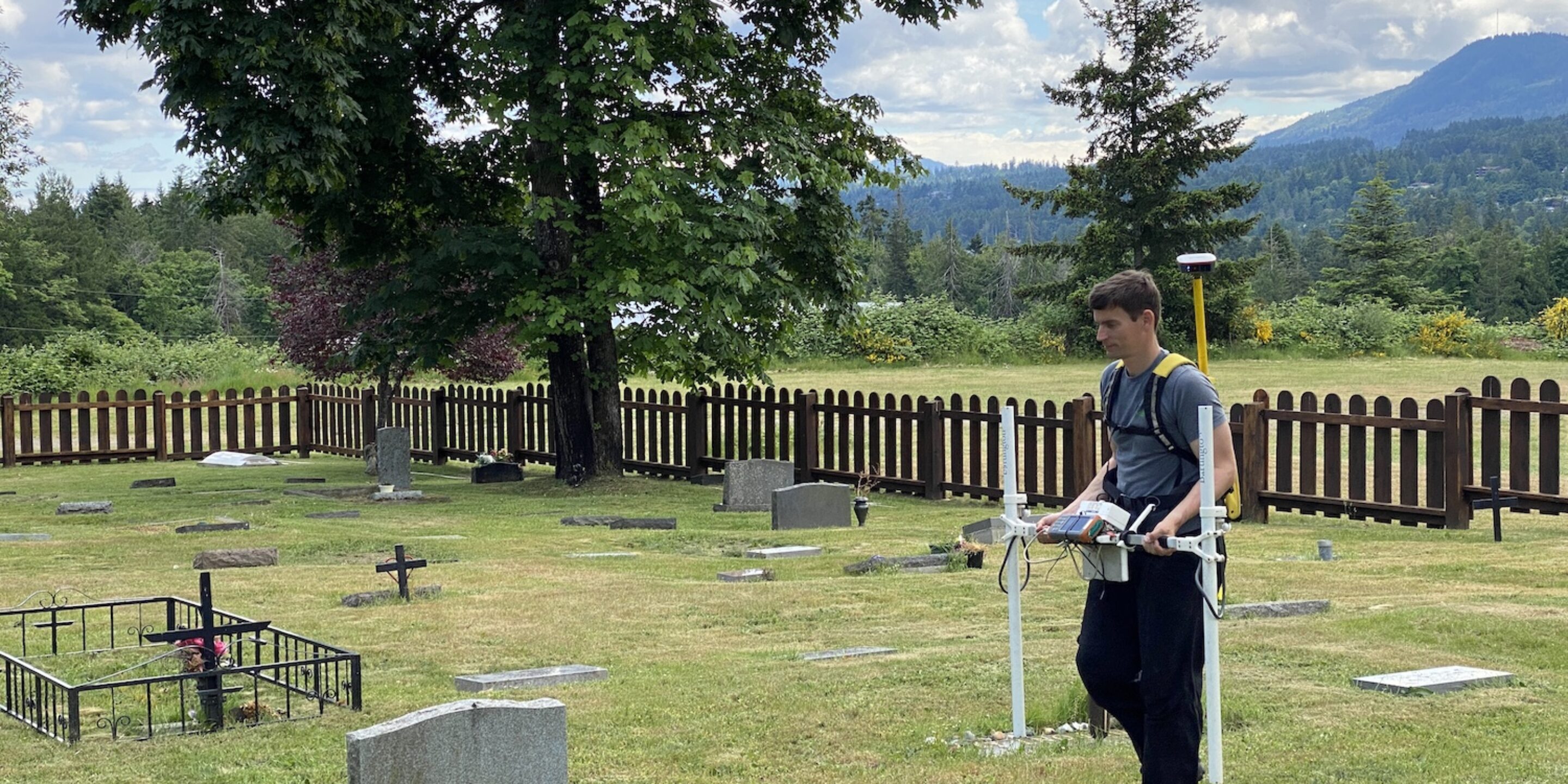
How GeoScan perform unmarked burial surveys using GPR & other geophysical techniques
01 Jun 2021
Why it’s important to use multiple methods in Archaeological Geophysics
May 2021
13 May 2021
GeoScan FSJ are Health & Safety pioneers in locating services
13 May 2021
GeoScan & Xradar BC are now employee owned!
Mar 2021
31 Mar 2021
GeoRadar Group Health & Safety Update
Dec 2020
10 Dec 2020
Why use our partner Xradar™ for concrete coring?
Sep 2020
02 Sep 2020
GeoScan now supply utility line locating & more in FSJ, Peace River
Apr 2020
01 Apr 2020
COVID-19 (Coronavirus) & GeoScan
Jul 2019
09 Jul 2019
GPR, Electromagnetic Locating and Utility Locating – FAQs
Dec 2018
18 Dec 2018
Scanning Concrete for Shallow Post-Tension Cables
Nov 2018
15 Nov 2018
Xradar™ Enhanced Concrete Scanning on the West Coast
Sep 2018
20 Sep 2018
Regular GPR vs Xradar – Correcting Failed Scans
1
2
3
4