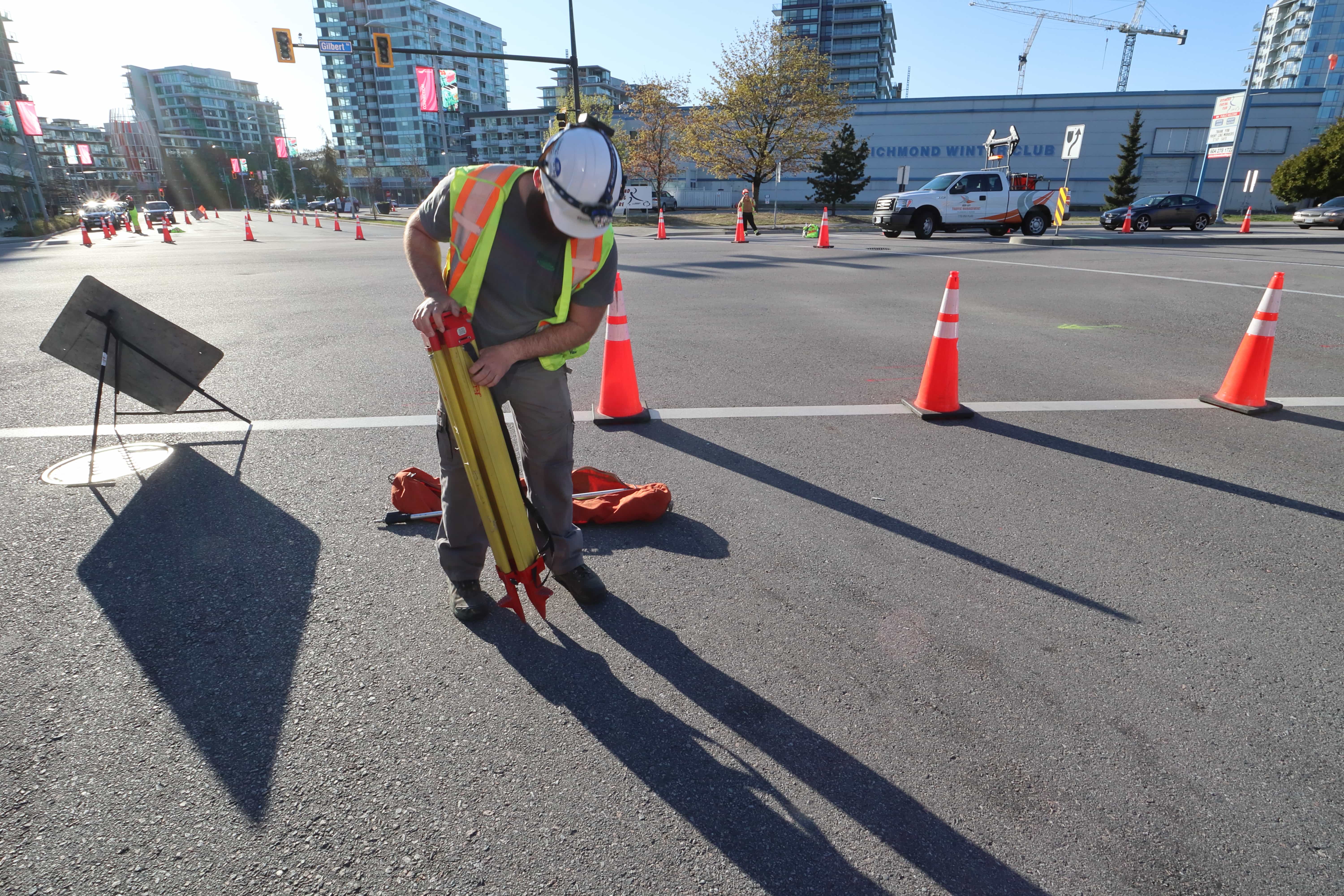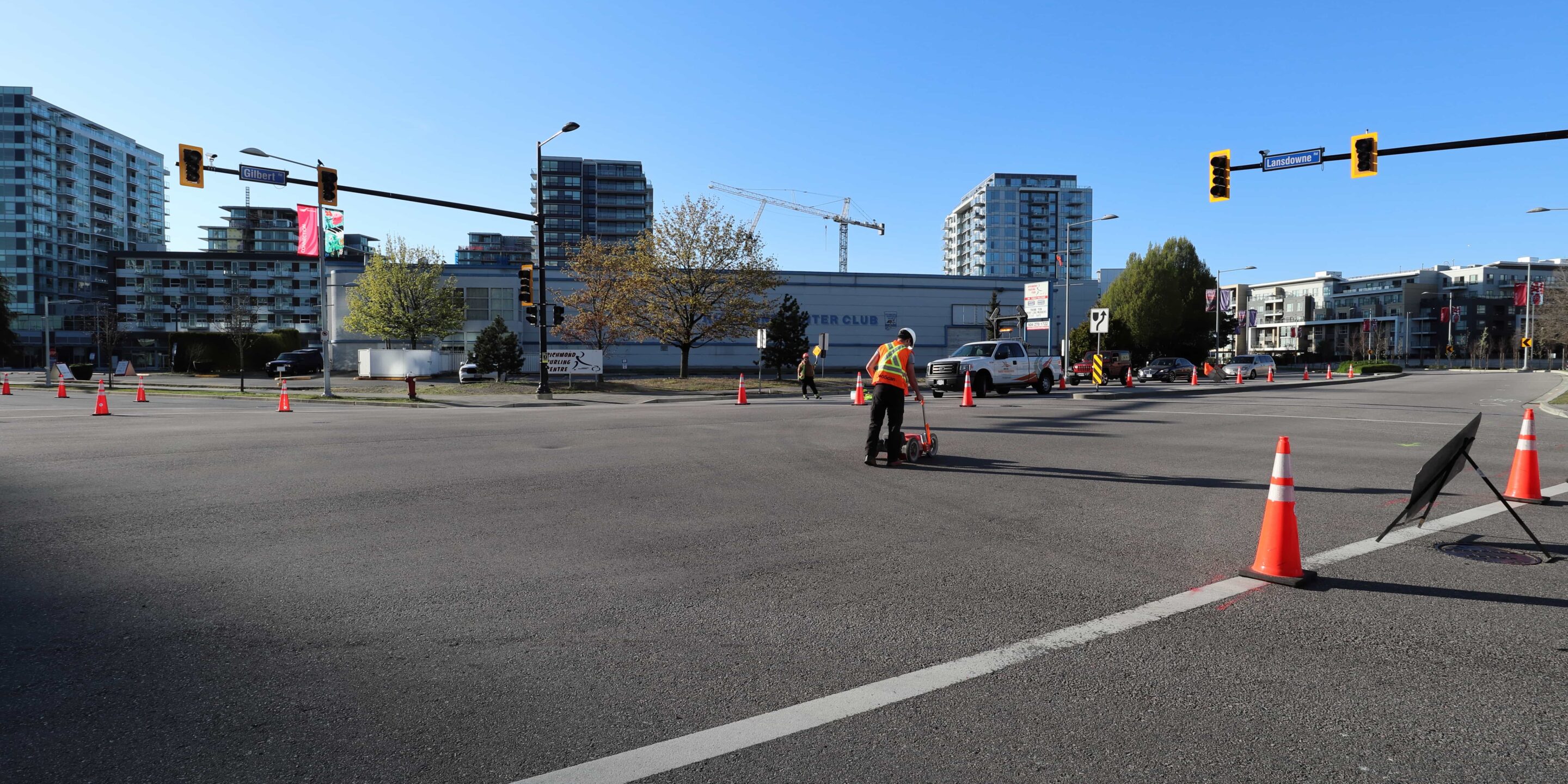
Utility locating is quite complex, and there is a lot of information to cover when it comes to the methods and technology used
We often receive similar questions from clients so we have put together some FAQs to help point you in the right direction for your project!
How do you locate utilities?
We use both electromagnetic technology and ground penetrating radar to accurately identify and locate the position of underground utility services. This technology is non-destructive and provides real-time results. The location of utilities are clearly marked directly on-site allowing you to dig with confidence!
Is GPR a safe technique?
Yes. While “Ground Penetrating Radar” may sound like a hazardous technique, it is extremely safe and emits roughly 1% of the power of a cell phone.
How deep can you locate targets?
Penetration depth depends on the material being surveyed and the antenna being used. A lower frequency antenna is able to locate deeper targets, but outputs results at a lower resolution.
Drier materials such as sandy soils return excellent survey resolution, whereas heavy clay-based soils are difficult to penetrate. In some situations scan depth may be limited to a few feet within clays, whereas pipes within sandy soils could be detected at depths up to 30 feet.
How does GPR work?
A GPR system consists of a transmitting antenna and a receiving antenna. The waves emitted from the antenna penetrate the ground and reflect off buried objects and return to the surface, where they are then detected by the receiving antenna.
By measuring the travel-time of the wave we are able to assess the size, shape and depth of the target within the subsurface.
What is Electromagnetic Locating?
Electromagnetic Locating uses a transponder that transmits an extremely low voltage AC current onto a conductive material (ie. a pipe that is steel or polyethylene with tracing wire attached to it). The underground utility line can then be accurately located and traced with a wand-like receiver that detects the EM fields that have been created around the utility line.
When you find underground utilities, can you determine what type of utility it is?
Yes, in the majority of scenarios. We do this by tracing the utility, starting from an identifying feature present on the surface, for example, valves, meters, control boxes etc.
Only in cases where we are unable to directly connect to the utility, or where there are no surface features present, are we unable to identify whether the piping is gas, water, storm etc. Additionally, we are able to provide the elevation of the utility and reference it with the as-build plans to confirm that they are without error.
What is the difference between GPR and X-Ray?
For a detailed explanation of the difference between GPR and X-Ray, please see this article.
What is a Registered Utility Locator Technician (RULT)?
To lead the utility locating industry and push for regulation and accreditation, GeoScan have assisted the Applied Science Technologists and Technicians of British Columbia (ASTTBC) in pioneering the newly developed Registered Utility Locator Technician certification.
GeoScan are currently the only locating provider in BC with Registered Utility Locator Technicians (RULT). Find out more here.
How much does utility locating cost?
The cost of utility locating mainly depends on the size of the scan area. Get in touch for a free quotation.
You don’t have an office in my location, do you travel?
We have offices in Vancouver, Vancouver Island, Montreal, Quebec City and Toronto and frequently travel to other regions and provinces to carry out work where required.
If you have a project in mind our technicians can discuss pricing for specific travel time and provide you with a quotation.
Get in touch for more information.