From discovering salt-induced degradation of farmland, oil spills, or other contaminants to preventing utility line damage and infrastructure deterioration, GeoScan has an extensive portfolio of specialized projects where the spotlight is on environmental impact.
Their service links to environmental preservation run extremely far and deep. GeoScan’s contaminant plume mapping, for example, monitors environmentally harmful contaminants such as chloride. These chemicals find themselves into subsurface aquifers in the vicinity of major highways.
The team regularly maps tree roots for clients who wish to avoid damaging long standing trees. One of the most common uses of their technology is to locate potentially harmful abandoned oil tanks under residential properties.
There is no shortage of endeavours where input from GeoScan can add value. The firm relies on state-of-the-art technology and expertise to support companies across many industries with survey services. Much of the industry that GeoScan works within is unregulated, which has led to their heavy investment in a trainee scheme that boasts the highest quality of professionals. Their employee base has a market-leading number of qualified Registered Utility Locating Technicians.
GeoScan started in 2010, offering utility locating, concrete scanning and shallow geophysical surveys.
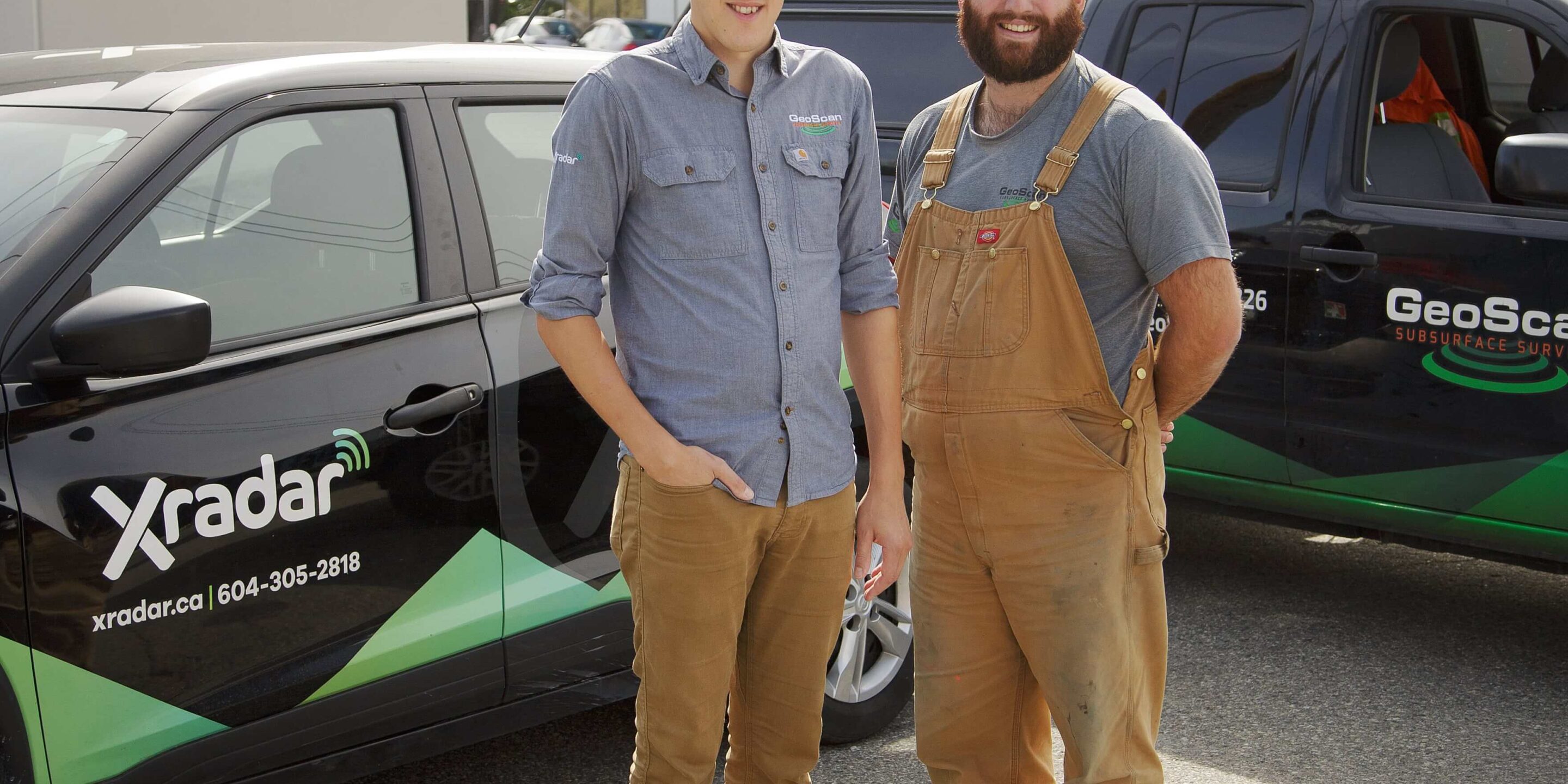
Half a decade later, GeoScan started branding its concrete scanning as Xradar. This became a sister company providing non-destructive testing and structural surveys. It also offered void and crack detection, and corrosion mapping across Canada.
Such explorations can help to advance planning for a large variety of projects, says Director Joe Salazar. “Knowing what’s underneath the ground – or in the concrete – can save a lot of time and money. However, in the construction industry, there is this tendency to rush and deal with mistakes afterwards, often to the detriment of the environment, or infrastructure.”
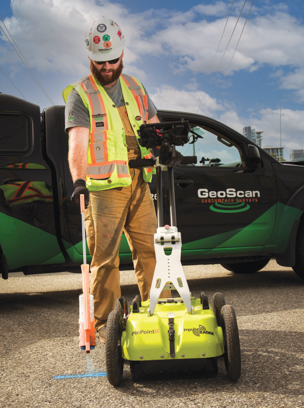
For building projects, for example, there are four confidence levels to discovering and verifying utility data. Level A being the most – and D the least – accurate.
“Level D is a simple background check while C involves surveying and using judgement in correlating above-ground utility features,” Founder Will Meredith explains. “B is when we come on site for subsurface utility engineering. For this we use ground penetrating radar and electromagnetic equipment.”
Short of level A, which determines utility line depth, material and location through vacuum excavation, this is the most precise method for obtaining this kind of data.
“A lot of contractors only go as far as level C, and rely on information on utility lines provided by municipalities and BC One Call,” says Meredith. “Then they might dig and discover the lines in a different spot, because the maps often show only a rough approximation, or worse, dig in an area that was believed to have been free of utility lines entirely, causing a dangerous and expensive hit.”
This can cause unforeseen conflicts during the construction phase, which may require re-engineering, utility conflict resolution and utility relocation. A University of Toronto study estimates that for large infrastructure projects, the average return for each dollar spent on subsurface utility engineering services is $3.41. In some cases the damage to the environment can be far more extreme. For example an oil line puncture in Burrard Inlet in July 2007, causing untold environmental damage in addition to its $15m+ in cleanup costs.
GeoScan aims to go beyond improving the sustainability performance outcomes for their clients. They seek out engagement opportunities with community partners to help identify and address urgent needs.
“We have a set of core values,” he says. “Community is one of them.” This passion for making a difference is shared widely. GeoScan volunteers for local projects, like a recent tree-planting event. Their team will also provide expertise to pro-bono work and committees.
GeoScan and Xradar aim to step up efforts to collaborate with local partners to see how they can help. “Working with communities to support relevant causes is a big goal of ours, says Salazar.
Other activities like collaborations with First Nations and inner-city projects in Vancouver and Victoria resonate deeply with employees. And that’s important since the collection of companies are now 100 percent employee-owned after implementing an employee share ownership plan.
Meredith is convinced that when people own a part of the company they work for, it can enhance interest and engagement. In turn, it can boost an organization’s success – it also serves to strengthen the commitment to client satisfaction.
“We believe if all people had the opportunity to truly own a piece of the business they work for, the world would be a much better place,” Meredith says. “We will always place a high value on inclusivity and ownership.”
This article first appeared in the 2021 Environmental Excellence in B.C. magazine and was also published on Vancouver is Awesome.