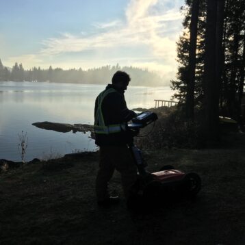
Ice cover and depth can be measured quickly and effectively with GPR, be it on land, lake or river.
Providing metrics of ice volume and/or river and lake bottom profiling.
Radar travels much better in ice than in liquid water, a bonus for us in the great white north. For once, throughout the winter months, the weather is on our side. Ice improves signal transmission and allows us to see deeper and with more clarity.
Ice thickness profiling has been a typical use for GPR systems for many years, and was one of the very first applications of the technology. The depth of glacial ice was recorded using GPR as early as 1929.
This specific use and methodology is relatively simple but the data that can be obtained is highly valuable and useful for many different applications.
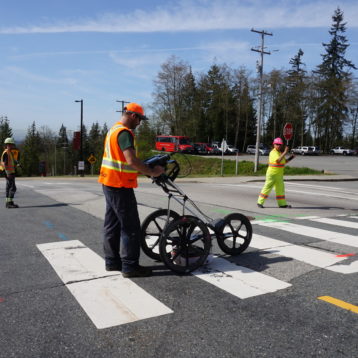
Ice roads and bridges provide a lifeline to many communities throughout the winter months. Monitoring their integrity and development throughout the season in a simple and effective manner, is an easy win for safety and for vital transport connections.
Periodic monitoring of ice buildup is useful information for environmental and academic purposes, either as preliminary works for ice core programs or as a metric that can feed into hydrology or climate models.
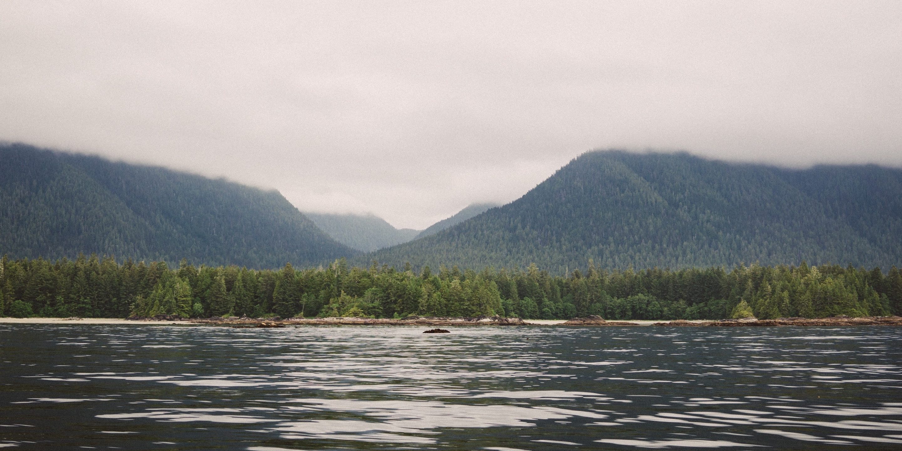
Profiling of glacial ice, or frozen lakes with GPR is an effective way of collecting bathymetric data without the need for expensive marine vessels, inertial motion corrections or expensive equipment used typically in hydrographic surveying.
Periodic monitoring of bathymetry can identify sediment mobility to establish planning and execution of sediment removal. Understanding the deposition and/or removal of sediment material in times of high flow (i.e. flood events) can give insight into how rivers and lakes are evolving around us.
If you would like to learn more about this service, or have a project that would require our qualified technicians to attend to, then please get in touch.