Aug 2018
Concerns were raised about potential contamination plume migration from an existing salt shed on Vancouver Island. Mapping out the high conductive zone in the vicinity of the existing salt shed provided an approximate ground model that may shed light on the potential plume migration pathway.
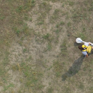
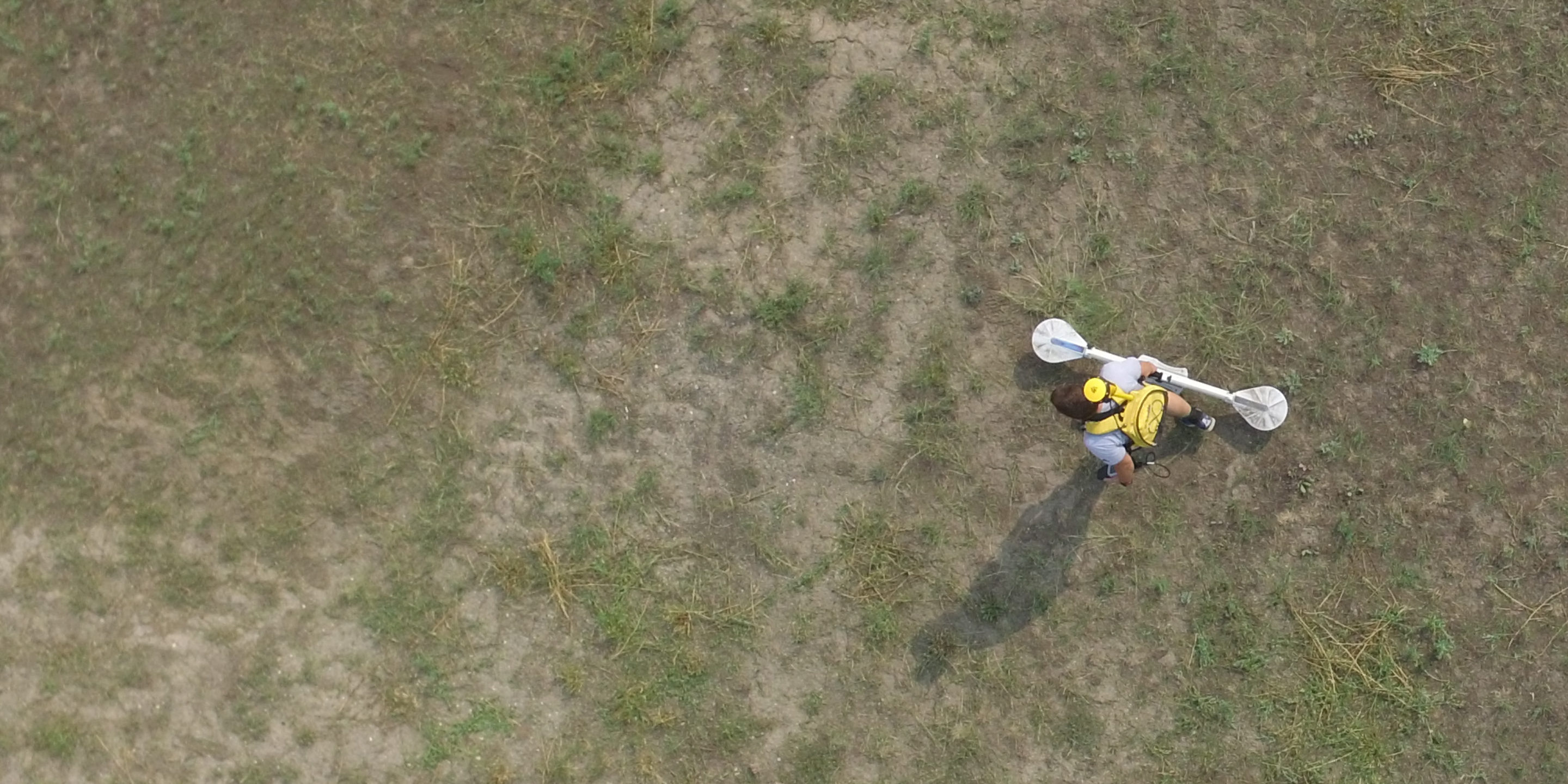
GeoScan used Electromagnetic (EM) and Electrical Resistivity Tomography (ERT) to map out the high conductive zones across the survey area. These zones have the potential to indicate the location and direction of contaminant and aquifer flow. Using GPS assisted EM measurements the area was quickly surveyed within several hours to provide an accurate conductivity map of the subsurface, up to 4 meters deep. This initial scan was later used to plan the location of the ERT lines.
The combined survey results provided an approximate three dimensional model of the subsurface that can be used to plan and efficiently carry out any mitigation measures.
In the past GeoScan have used this methodology to successfully identify breaches in subsurface containment structures that posed significant environmental risks to surrounding ground waters, rivers and creeks.
Location
Vancouver Island
Industry
Transportation
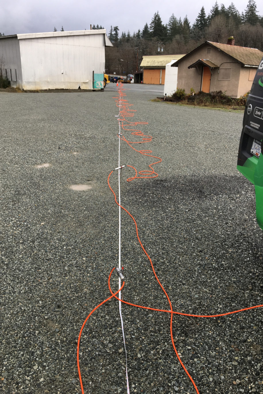
The combination of survey methods often provide additional information about the subsurface. In the case of conductivity mapping, electromagnetic surveys combined with electrical resistivity tomography can yield better understanding of the ground conditions by mapping both vertical and lateral extents of high conductive areas.
The conductivity survey on Vancouver Island met the required timeline and the results revealed high conductivity zones extending up to 8m below ground level surrounding the existing salt shed. This information was utilized to plan the location of environmental test pits, monitoring wells and can be used for planning of any future ground work as required.