Oct, 2018
A complex archaeological subsurface survey was conducted at a large parking lot in a small BC community. The objective was to locate any signatures of potential first nation settlement or burial site suspected within the area.
Situation
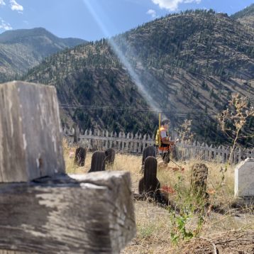
In a small community in British Columbia concerns were raised about a new construction on top of an existing parking lot that could burden underlying archaeological artifacts. Unverified information has been circling within the community that an important burial site may be present beneath the area, and with no record, the construction company wanted to make sure, that the operation won’t disturb any important relics or sacred ground.
With no archaeological and limited historical records, a preliminary investigation was needed to begin with.
No subsurface survey can replace thorough archaeological investigation, but conducting an archaeological subsurface survey could reveal valuable information or can put objects into context without any intrusion into the ground.
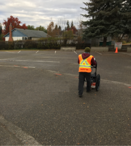
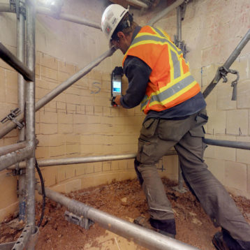
GeoScan has the capabilities to carry out such a large scale, high resolution survey, that utilizes several types of survey methods simultaneously. By utilizing different methods we can make more accurate interpretations. Subsurface objects, such as utilities, historical buildings, undocumented underground storage tanks can be accurately located in a survey area. Archaeological interests, such as plank or pit houses, burial sites, hearts or similar features could be located in a greenfield site or can be distinguished from any subsurface objects mentioned above.
Solution
Archaeological surveys are very sensitive. The located targets could range from a single burial site to complete settlements. It is a difficult survey type due to the differing geophysical signatures the past has left to us. It is the unknown that makes it sensitive (and quite exciting) to start with and it becomes even more difficult when recent human activity burdens the almost forgotten human activities from the historical times.
We have several years of experience on the field and processing these surveys by our team members. Geophysical surveys do not substitute archaeological investigations, but they can help to narrow down the area or areas of interest and they can put findings into context without necessarily digging up the whole site.
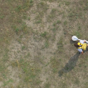
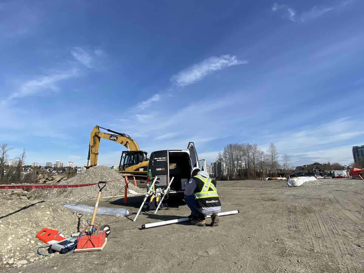
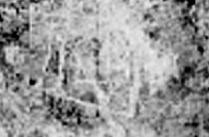
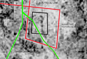
A recent survey in the middle of BC covered an area measured approximately 5800 square meters on a parking lot. Three survey methods were used: high resolution ground penetrating radar (GPR), Megnetometry and Electromagnetic (EM) survey. The image shows part of the processed GPR data in a map view (top) and the results with the interpretation (bottom).
A suspected historical building (more accurately the remnants of the foundation of its walls) was located in the middle of the area. It is surrounded by more recent utilities as shown; an electrical line (red) and a sewer line (green), which were marked on site.