October 2019
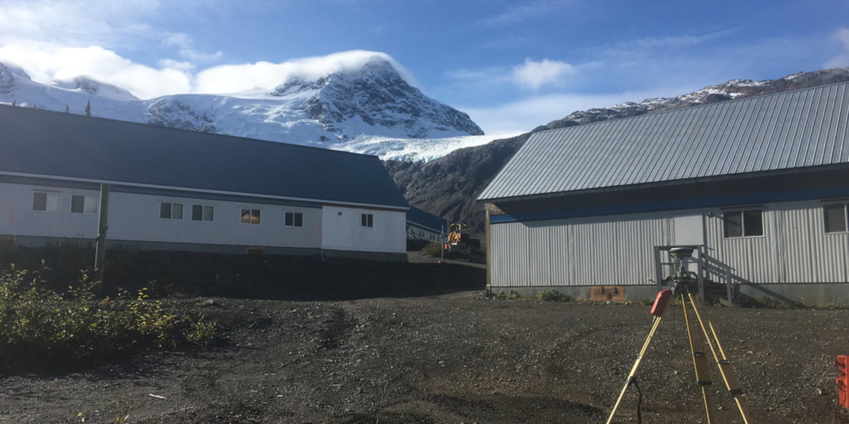
GeoScan travelled for two days to reach a remote northern BC exploration mining camp in order to complete a Subsurface Utility Engineering job at the base camp.
Following a subsurface utility engineering survey of the lower staging camp, our technicians flew by helicopter to the upper camp to complete an additional locate survey. The purpose of the job was to improve safety and future planning at both sites.
Situation
The client had been experiencing multiple utility strikes when performing upgrades to their current systems due to poor documentation. The only documents that existed were from the planning stage and could not be relied upon to safely carry out the work.
While planning a future expansion of the multi-generation camp they realized it was necessary to accurately locate and map the utilities in order to prevent damage and injury. Due to the remoteness of the area hospital care could take days to reach therefore the dangers form hitting a utility are increased dramatically.
Solution
GeoScan travelled to the two sites to perform the locate and survey to a SUE Level B Standard. This process involved locating all utilities in the both the upper and lower camps then surveying the area to create an accurate as-built map of underground infrastructure.
This map will then be used to plan future upgrades as well as prevent dangerous utilities strikes, allowing the client to save time and prevent injuries.