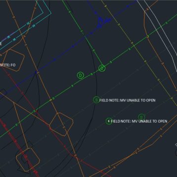
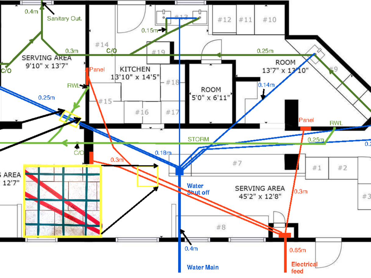
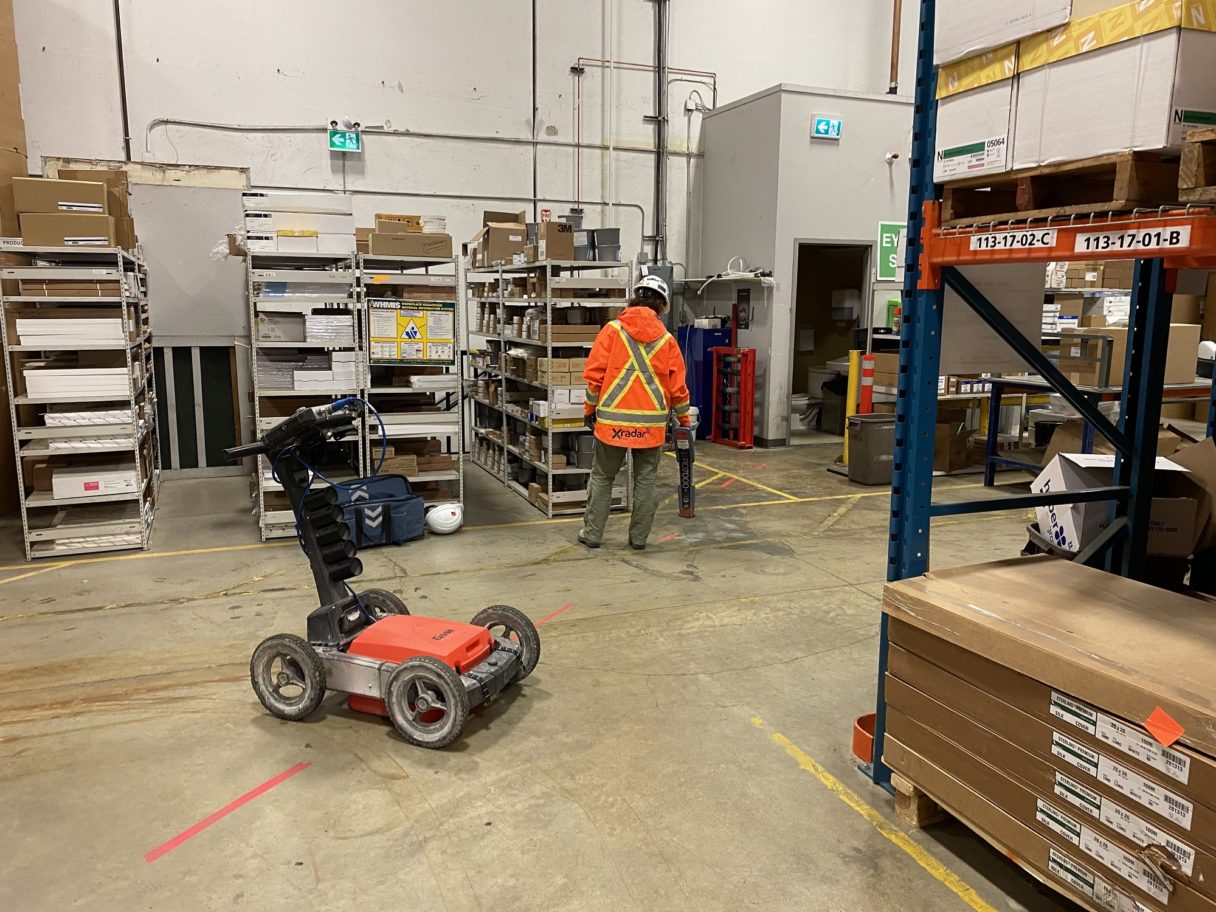
Using both high & low frequency GPR as well as EM methods GeoScan successfully partnered with Xradar to map out in-slab embedded objects & sub-slab utilities, subsequently overlaying the results on a floor plan for our client then provided a Sub-slab utility plan to the client on site showing the layout on a floor plan.
Situation
A contractor was doing a tenant improvement of a unit in an early 1990’s building. They had hired GeoScan to scan the concrete slab before trenching in an attempt to tie into the sanitary line and avoid any conduits in the slab. However, no existing mechanical floor plans existed of the unit or building, the route of the water lines and existing sanitary was unknown. It became apparent that the contractor could really benefit from knowing the full interior utility layout so they could plan their unit.
Solution
Combining utility locating and Xradar ™ concrete scanning, GeoScan was able to identify the full interior sanitary network connecting all sinks, drains, vents and toilets as well as locating and differentiating from the storm drain flowing from the rain water leaders. The technician was also able to mark the route of the water lines supplying the sinks. The client was then able to better plan their trenches to tie into the utilities which in part actually saved them lots of unnecessary trenching and cost. As well as safely cutting the slab, avoiding embedded conduits and even ensuring cut lines did not split rebar lengthways (which greatly slows the cutting process).
A quick digital scan of the contractor’s architectural floor plan and the technician was able to draw and overlay a digital sub-slab utility plan for the client on site. All included as part of the standard service.