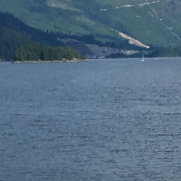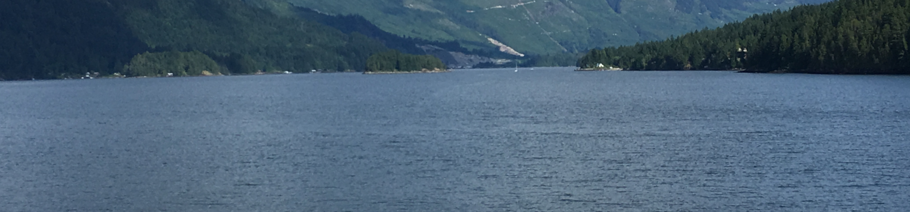
Accurately profiling the bottom of a lake can be challenging. A client had to drench part of a shallow lake for better access, but needed to know the approximate sediment level and the bottom profile of the area to plan the work.
Lake profiling has several different uses, but to achieve accurate results multi sensory approach might be necessary. GeoScan’s team members used GPR and acoustic methods to collect data in a small lake to map out the distinguishable loose sediments present at the bottom of the lake. The final results showed the 3D sub-bottom profile of the surveyed lake and the approximate sediment level in the surveyed area.
The results gave additional information for planning and executing the dredging process and allowed the client to estimate the amount of material needed to be removed from the site.
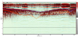
The image above shows a GPR profile collected on the shallow part of the lake. The blue represent the sub-bottom and the orange represents the loose sediment. GPR surveys on a lake require special equipment and several corrections of the data.