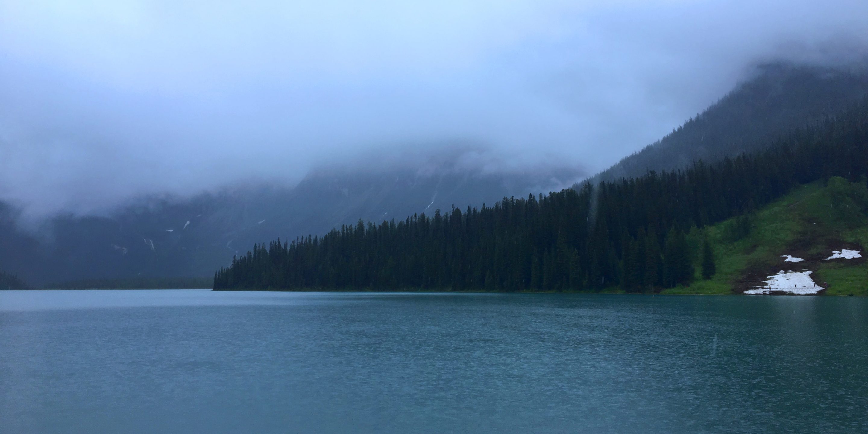
A client noted an unexpected water level drop at a small dam in a remote location. Visual inspection of the dam did not reveal the cause and nature of the issue. GeoScan was asked to carry out a non-invasive subsurface investigation to reveal information about the structural composition of the dam and to locate any potential areas of leakage.
Situation
The client noted a slow but steady water level drop at a relatively small reservoir dam. After a visual inspection the source of the problem could not be identified. Due to the difficulty of transporting large equipment to the site, the main engineering consultant suggested non-invasive inspection first. Non-invasive inspections provide baseline data which can repeated to provide ongoing evaluation of projects in the future.
Solution
GeoScan chose to conduct an Electrical Resistivity Tomography (ERT) survey, which images the resistivity distribution of the subsurface. The soil resistivity is largely effected by water content, therefore in higher saturated zone ie around the area of water leakage in a relative homogeneous matrix, can be distinguished on the collected and processed ERT data.
The image below shows the collected and processed ERT line. The results clearly indicates a high conductive zone at approximately 40 ft deep, indicative of higher saturated zone. This high saturated zone could be caused by a less compacted area in the dam base. This zone that has been accurately identified using the ERT results, can be investigated further by drilling or by underwater inspection.

