WorkSafe BC define a confined space as “an enclosed or partially enclosed area that is big enough for a worker to enter… but are not designed for someone to work in regularly.”
Why do you need to access these spaces?
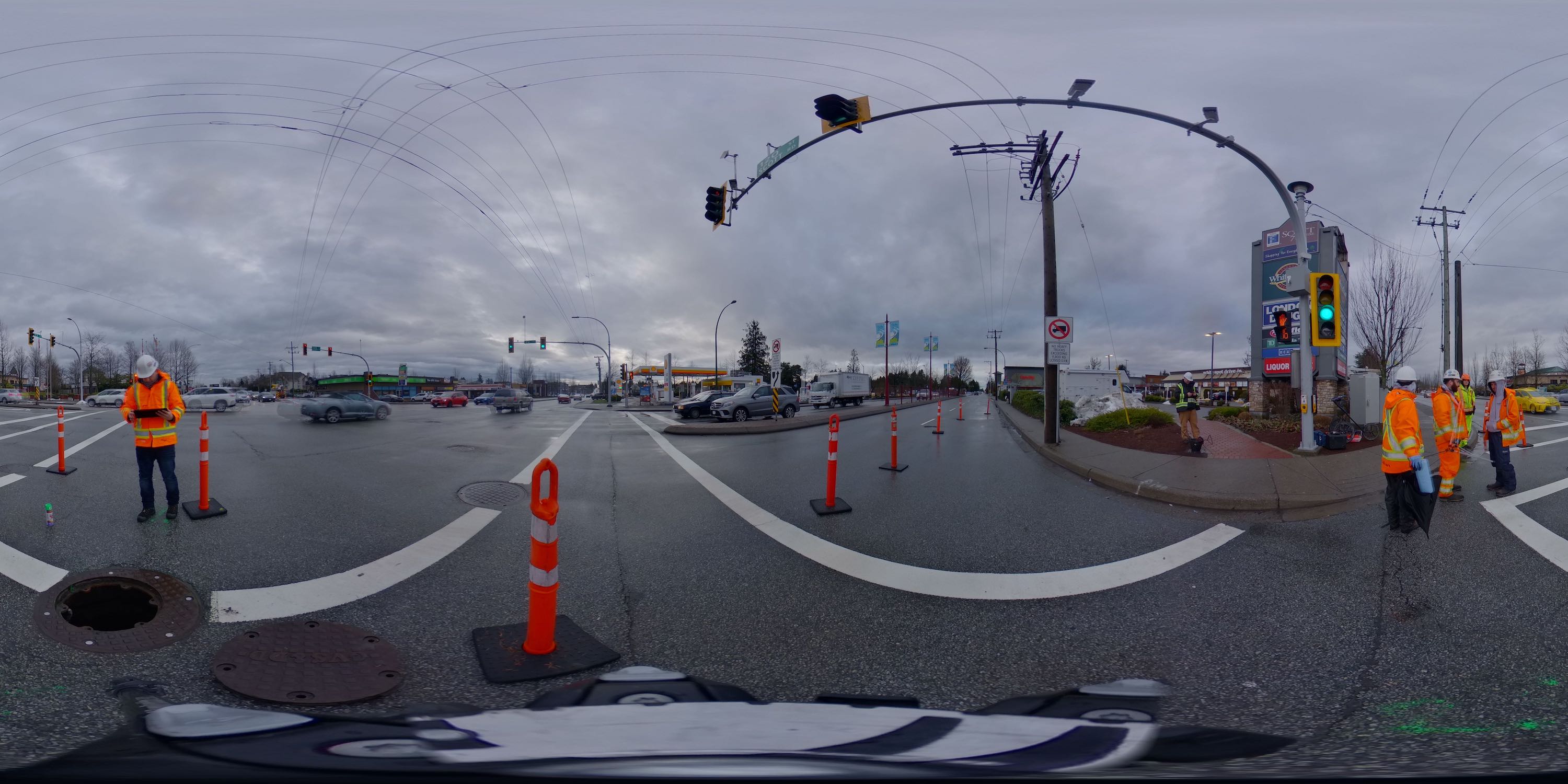
Both public and private utilities use these hazardous spaces in multiple ways. An example might be to pull cabling through in the case of a BC Hydro or Telus vault, housing city infrastructure such as pumping stations, or simply as an access to a storm or sanitary pipe. 3D laser scans can make these locations far more accessible.
“The risk of incidents within confined spaces are not common, but when they do occur the consequences can be devastating.”
At GeoScan we are always looking for ways to improve safety for both our team and our clients. With the biggest risk and expense in the majority of our projects being entering confined spaces such as manholes or vaults.
Do you have to enter the confined space to collect the data?
With the right technology and expertise, there is not always a need to physically enter the confined space. This removes the majority of safety threats associated with undertaking the work.
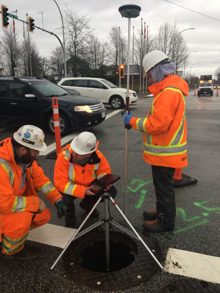
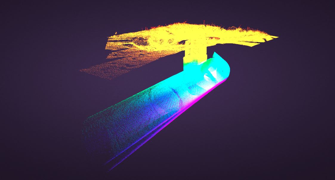
We use the latest laser scans to map and document the interior of manholes and vaults without the need to enter the space.
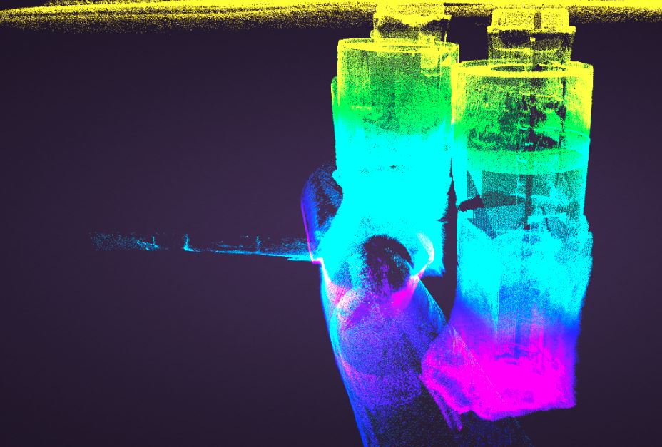
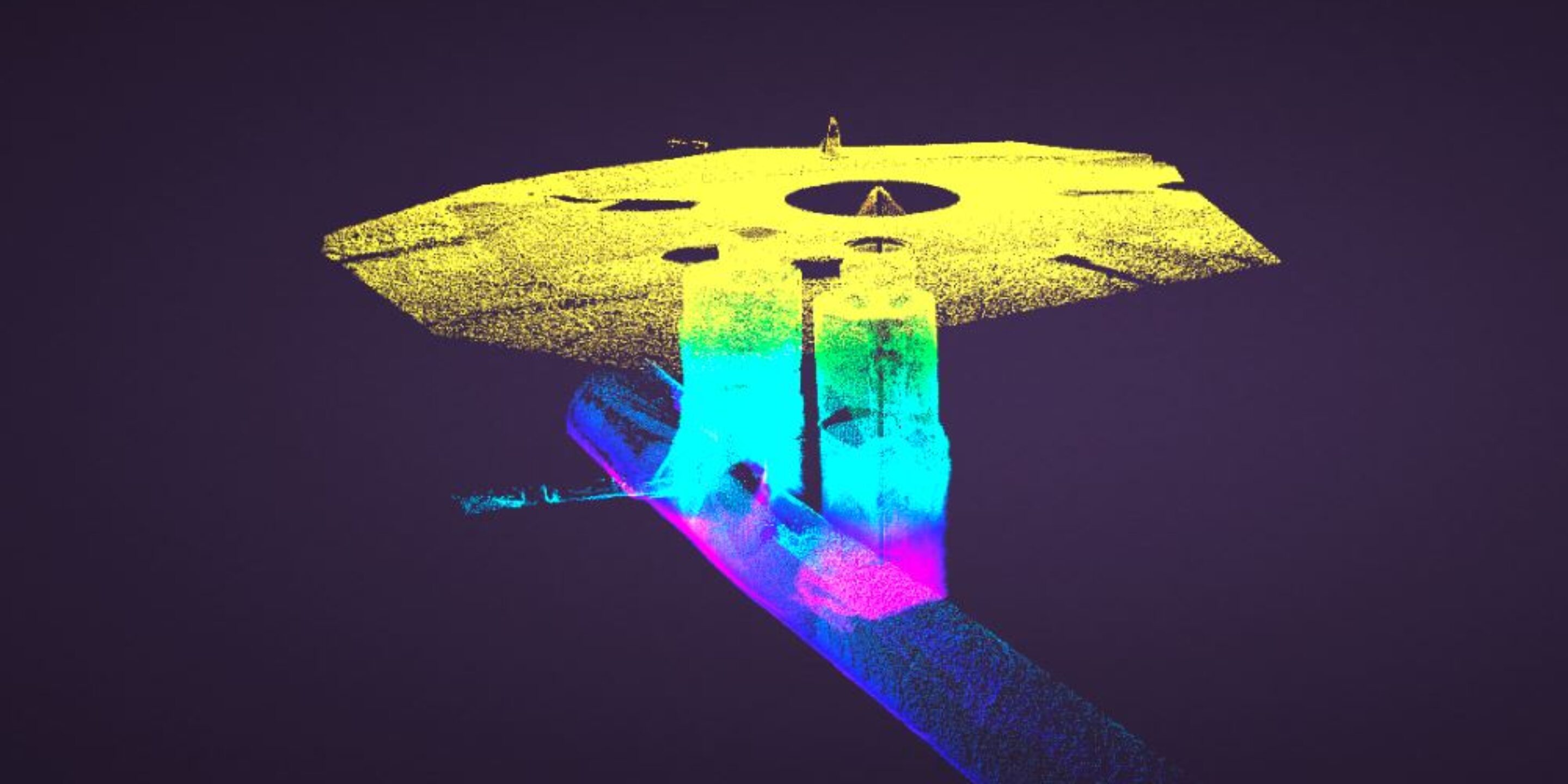
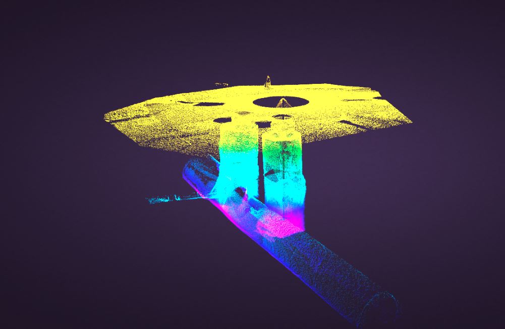
 A storm and sanitary manhole
The data collected is extremely accurate, and can be accompanied by point cloud drawings of the interior, allowing for easy and confident interpretation.
Each confined space takes on average only minutes to scan and capture the data required. Most manholes are positioned on roadways, so this fast data collection allows reduced traffic disruption therefore lowering costs.
Workers traditionally entered these spaces to gather measurements and perform condition assessments. Both these tasks can now be done from the comfort of the office by multiple people and even multiple organizations. With an added bonus that the data can be collected over time intervals. Therefore, a BC Hydro vault that is slowly caving in can be quickly spotted by comparing the models created, leading to accurate cave-in or crack-length rates.
The uses are not just limited to manholes. We regularly work in underground reservoirs, crawl spaces and box girders, using similar methodology to meet the client needs.
GeoScan clients are increasingly opting to use our 3D laser scanning services for confined spaces due to its speed, safety and the deliverables available.
If you have a project that could use this method and technology, then get in touch with our team who will be happy to talk you through the process.