Book Now
Menu
Close
Services
Methods
Projects
About
Contact Us
Book Now
Blog
Join Us
News
Back
Underground Utilities
Underground Oil Tank (UST) Locating
Fully Managed Daylighting Program
Utility Line Locating
GIS Utility Mapping
Subsurface Utility Engineering
Surveying
Surveying
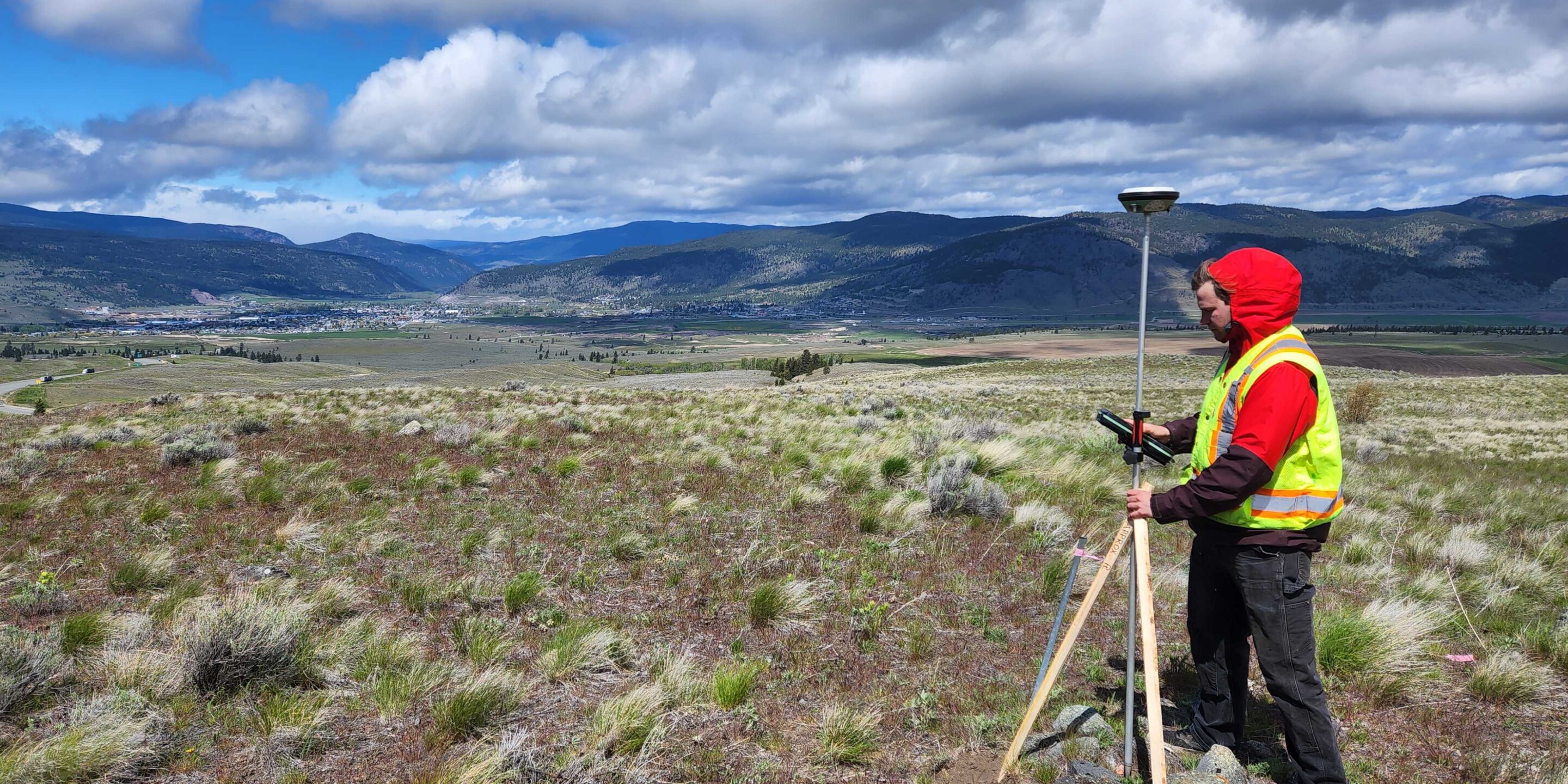
Topographic Surveys
LiDAR Services & Mobile Mapping
Construction Layout Surveys
Environmental,
Geotechnical & Archaeological
Slope Stability Assessments
Bedrock Mapping & Profiling
Contaminant Plume Mapping & Landfill Delineation
Ice Thickness Profiling – Lake, River and Road
Forensic/Crime Scene Geophysics
Subsurface Void Locating
Asphalt & Pavement Thickness Mapping
Tree Root Mapping
Archaeological Geophysics
Ground Penetrating Radar (GPR)
Shallow Seismic (MASW)
Multi Channel GPR Array
Electromagnetic Conductivity
Electrical Resistivity
Electromagnetic Locating
Magnetometry
Services
Jan 2022
Topographic Surveys
Feb 2021
Surveying
Feb 2023
LiDAR Services & Mobile Mapping
Mar 2024
Construction Layout Surveys
Dec 2019
Underground Oil Tank (UST) Locating
Apr 2025
Slope Stability Assessments
Jan 2024
Fully Managed Daylighting Program
Dec 2019
Bedrock Mapping & Profiling
Contaminant Plume Mapping & Landfill Delineation
Ice Thickness Profiling – Lake, River and Road
May 2024
Asset 22
Forensic/Crime Scene Geophysics
Dec 2019
Asphalt & Pavement Thickness Mapping
1
2