Subsurface Utility Engineering (SUE) is a practice used to manage the risks associated with utility mapping, design, coordination, and relocation.
Every year in North America hundreds of thousands of utilities are accidentally struck during work procedures, however, with the aid of SUE this number can be reduced to practically zero.
Utilizing subsurface utility engineering (SUE) is incredibly important within the construction industry and saves both time and money by ensuring fewer project delays and costly repairs.
What is Subsurface Utility Engineering?
Subsurface utility engineering is aimed at obtaining accurate subsurface utility data at the design stage of projects.
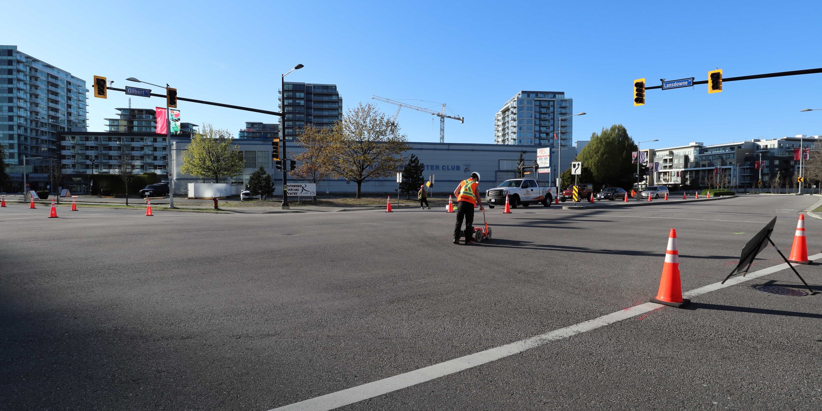
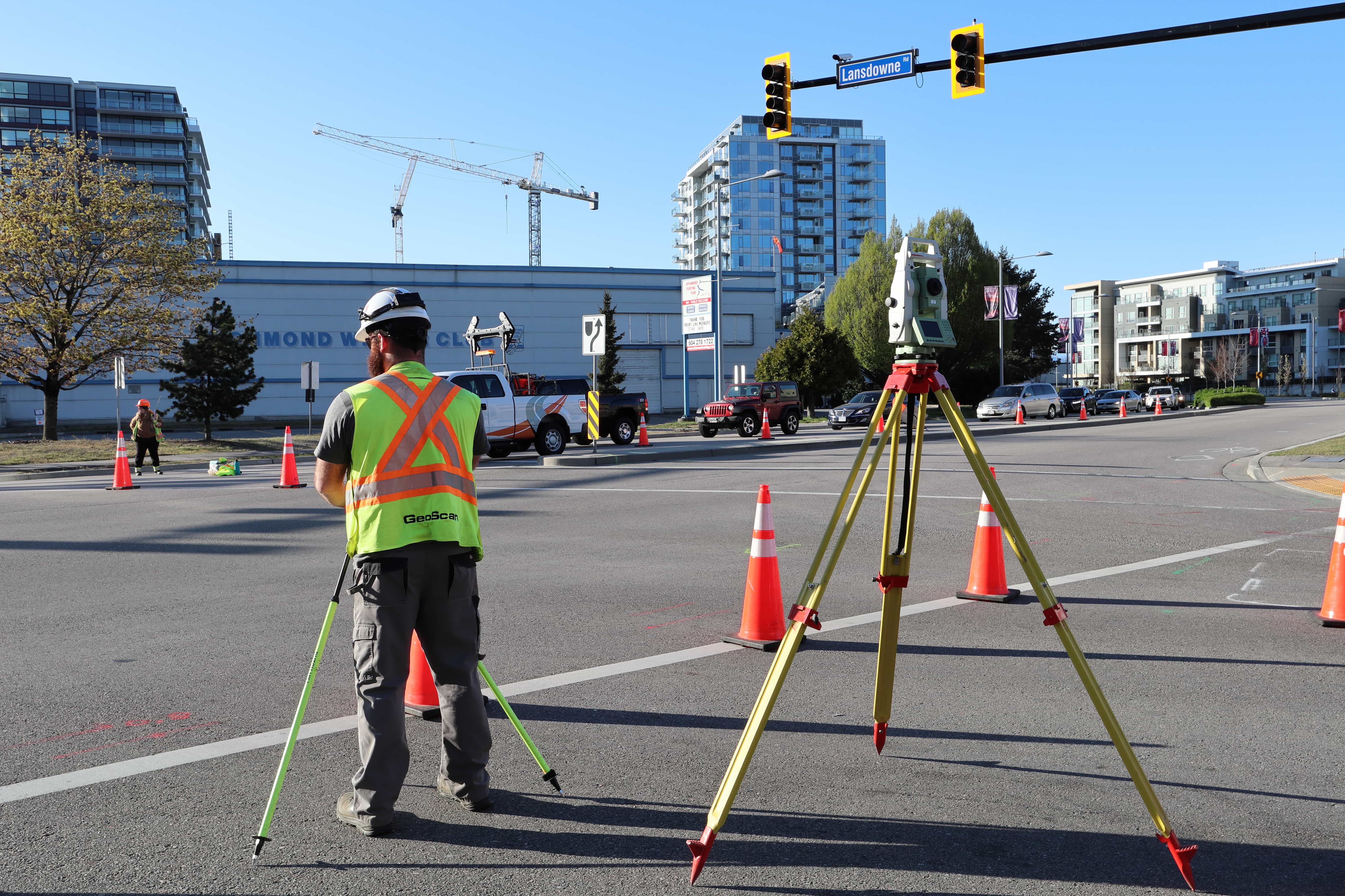
The process begins by outlining the scope, project schedule, and service against the associated risk. It combines field identification activities such as GPR (ground penetrating radar) and electromagnetic equipment, with survey, CADD, and design in order to identify and map existing underground utilities.
SUE is completely non-destructive and allows those carrying out construction activities to ensure that no utilities are damaged as a result of the project.
Applications of SUE
SUE engineers are there to protect underground utilities, ensure the safety of those working on site, along with the continuation of utility services for surrounding residents and businesses.
It is mainly used at the design stage of projects as part of information gathering and asset management. Prior to the commencement of construction, the objective of SUE is to collect accurate utility information within the project area in order to avoid conflict during later stages of construction.
In terms of asset management, SUE is used when there is missing or inaccurate data, and the gathered information is added to the existing database for future reference.
Standards and Quality Levels
In 2022, the American Society of Civil Engineers (ASCE) published Standard 38-22 titled Standard Guideline for Investigating and Documenting Existing Utilities. This outlines various guidelines for the collection and depiction of subsurface utility information.
The four quality levels are as follows:
- Quality Level “D” – Information obtained through review of utility owner records.
- Quality Level “C” – Information obtained through the identification and survey of surface features. This information is used in correlation with quality level D information.
- Quality Level “B” – Information obtained from the use of geophysical survey equipment that searches for utilities. The surface geophysics is interpreted, and the location of the utility is marked on the ground for subsequent survey and review by utility owners.
- Quality Level “A” – Information obtained by excavating to expose the utility. Collected data includes the horizontal and vertical location of the utility to within centimetre accuracy, the elevation of existing grade over the utility, as well as the utility’s diameter and material composition.
The Advantages of S.U.E
Subsurface Utility Engineering cuts project risk and therefore it also saves money. The Ontario Sewer and Watermain Contractors Association recently commissioned the University of Toronto to investigate the practice of using SUE on large infrastructure projects. The study determined that the average return rate for each dollar spent on SUE services was $3.41. Full paper can be found here.
The advantages of Subsurface Utility Engineering are HUGE in the construction industry. Having this valuable information on demand is critical for the pre-design phase of any project involving ground disturbance. Not only does it aid in project safety by avoiding risk resulting from damaged underground utilities, it also mitigates costs associated with utility repair, unanticipated development redesign, project delays, and various other unforeseen conflicts.
To help with building SUE RFPs/tenders and selecting the right package for you the ASCE has created a guide: “Subsurface Utility Engineering for Municipalities: Prequalification Criteria and Scope of Work Guide“.
To get your own copy contact us.
7-10% of all utility lines located were originally unknown, with no record of them existing
This incredible stat helps to understand the importance of risk mitigation in this industry. Up to 10% of utility lines not only have inaccurate locations, but are completely undetected in historical documentation.
If you’d like to know more about subsurface utility engineering, and how GeoScan can help you on your project, please get in touch.