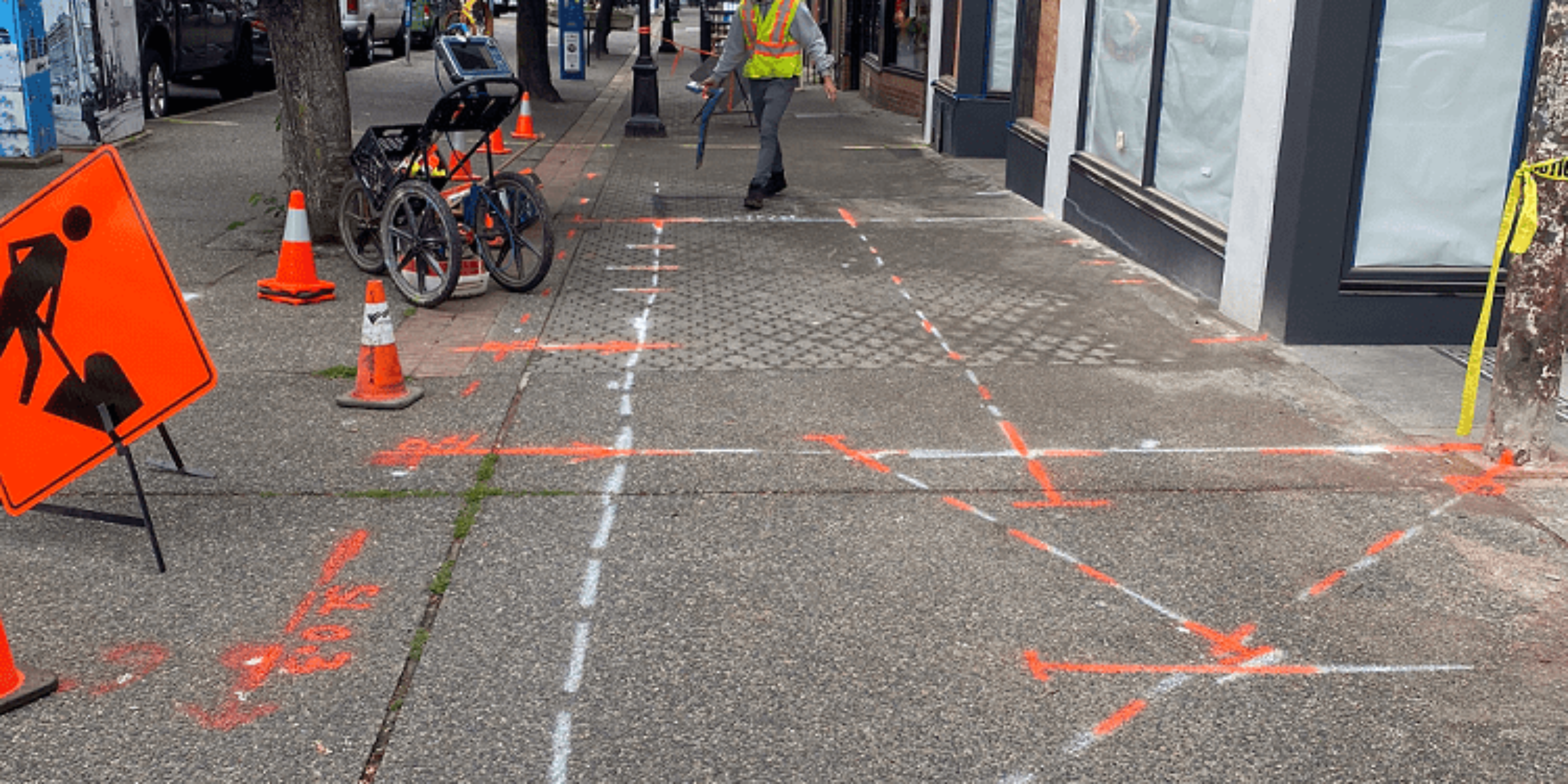
“Mom, what are those lines for on the ground? Those are social distancing lines son”
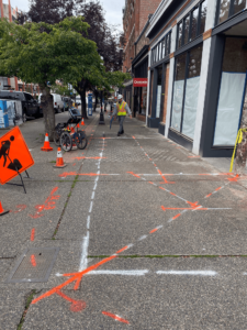
In current times, when you see markings like the ones in the picture below on the sidewalk, your first reaction is to stay 2 metres apart, but not this time.
Victoria, BC is famous for having many miles of disused tunnels. This article in particular draws comparisons with Pompeii, Italy.
Mapping an old disused underground tunnel
GeoScan was tasked with mapping an underground tunnel that was constructed back in 1891 in downtown Victoria, BC.
This tunnel in particular was protruding out from the building and underneath the sidewalk. As you could imagine over the past 100 years or so, the elements took its toll on the overall structural integrity. During that time the tunnel itself will likely not have been accessed, and was almost forgotten about.
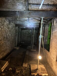
The result of over 100 years of weather taking its toll is that the sidewalk above the tunnel started sinking.
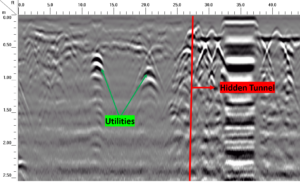
Using Ground Penetrating Radar (GPR), GeoScan was able to map out the tunnel boundary (above ground) and the surrounding subsurface utilities in an effort to help the client with the renovation project. As with all subsurface locating, the primary goal is to ensure safety. In this case the objective is to prevent the sidewalk above from caving in.
The image below is raw GPR data from the site, displaying located subsurface utilities as well as the underground tunnel.
The resulting report enabled the client to make the appropriate decision in their project, knowing what factors were involved.
If you have a project similar to this, or would like to know more about the methods involved, then please get in touch with our team of experts.